A Glacial Flood Nobody Recorded, Found in the Satellite Archive

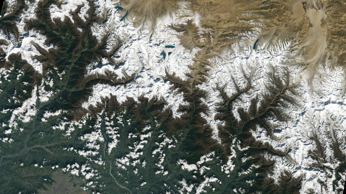
In September 2020 a mass of rock and ice broke off a headwall in the Warwan valley of Jammu and Kashmir, ran down a glacier, and landed in the small lake at its foot. The lake emptied. Water and sediment went down the mountain stream and stopped before they reached anyone. No hazard inventory holds the event, and nobody in the valley below had reason to write it down.
It is in the record now. Ashim Sattar of the Indian Institute of Technology Bhubaneswar, Adam Emmer of Charles University in Prague and five colleagues recovered the flood from a satellite archive. Their reconstruction was published Nov. 4, 2026, in Natural Hazards and Earth System Sciences. Nothing about the flood was measured while it was running: no gauge reading, no flow depth, no velocity. The evidence is Landsat and PlanetScope frames reaching back to 1999, and the shapes they show.
Near the lake, the frames are clear enough. Before the avalanche: one lake split in two by a tongue of sediment. After it: no water at all, an outflow channel breached and widened, and a fan of debris below the ridge of rubble that had dammed the lake. What is missing is everything further down. An outburst flood normally rips long scars into the valley it runs through, and those scars are what let a geologist put a flood in the record decades later. This one cut none of them.
Why the flood was too small to leave a mark
The authors give two reasons at once, and the pairing matters. Sediment had been washing into the lake from the meltwater streams of two neighboring glaciers for two decades, and the meltwater reaching the lake had fallen off. Between them they had cut the lake's storage well before the avalanche arrived. There was less water in it to let go, and too little force in what came out to tear up the channel below. Nothing downstream was damaged, so there was nothing for anyone to report.
The avalanche that set it off was not especially big. Matching modeled runouts against the mapped deposit put its release volume near 1.1 million cubic meters. Nobody has measured the deposit's thickness or density on the ground, and the authors say plainly that "the reconstructed release depths and velocities carry uncertainty." They tie this avalanche and two others nearby to thawing permafrost in the steep headwalls above, ground that stays frozen year-round.
The lake next door did not silt up
A few hundred meters downstream sits a second lake, held in front of its own glacier, and it has done the opposite. The paper calls them Lake-A and Lake-B. Lake-B shows no visible sediment fill, and between 1999 and 2024 it grew by about 308% as the glacier behind it retreated and calved ice into the water. The lake that flooded is the one that was filling with mud. The one still holding water is the one that was not.
Sattar and his colleagues are careful about what that means for a hazard assessment. Silting up does lower a lake's volume, and with it the size of any outburst it could produce. But they write that it "can also create a false sense of stability" when the ice and the landscape around it are not watched regularly. Their own catchment makes the case. Within months of the 2020 drainage, meltwater and melting avalanche debris had re-formed a lake against the glacier front, and the chance of another outburst came back with it.
The flood that has not happened
Nothing has happened at Lake-B. What the paper offers there is a model of what might, and the frame matters more than the figures inside it. The team first reconstructed the largest the lake could get, mapping its greatest possible extent over a modeled glacier bed, which gave a water volume of 7.7 million cubic meters. That is not a measurement of what sits in the lake today. It is the most the basin could hold if the glacier keeps retreating out of the hollow behind it.
Into that water the model drops a rock and ice avalanche: three of them, in fact, each half the size of the one before. The worst of the three is where every downstream figure in the paper comes from. That one is 25 million cubic meters, a volume the authors themselves compare to the Chamoli disaster of 2021 in Uttarakhand, which carried about 27 million cubic meters of rock and ice. It is the top of the range the Himalaya has been observed to produce, not a middling guess, and it is more than 20 times the avalanche that emptied Lake-A in 2020. In that scenario the model drains 97.5% of the lake.
Downstream, that modeled flood loses most of its force. It reaches the model's cross-section at Anyar, 49 kilometers down the valley, about five hours after the outburst starts. The next section sits just above Qaderna, at roughly 65 kilometers, and the water gets there about an hour after that. By then the peak flow is 73% below what left the lake. Those two arrival times belong to those two points in that one scenario, and nowhere else. They are also a floor rather than a forecast, in one specific way. "We considered only water routing downstream of the lake," the paper states. The valley itself is stacked with loose sediment from old landslides and debris flows, which the authors expect a real outburst to pick up and carry.
Bridges, road segments and riverbank houses at Anyar and Qaderna fall inside the modeled inundation zone. The paper's abstract names Youdu and Qaderna among the settlements at risk. Elsewhere it spells the first of those two other ways, a sign of how thinly this valley appears in any record. The conclusion the authors draw is modest, and it is about those hours: the modeling, they write, suggests that "an early warning system closer to the source will be able to provide a good lead time." A sensor at the lake, in other words, rather than one in the village, where the water and the warning would arrive together.
A flood nobody noticed is worth recovering because it moves a count. Unreported outbursts leave holes in regional inventories, and an inventory with holes makes these floods look rarer and smaller than they are. Sattar's team cites a 2021 Science Bulletin survey by Zheng and colleagues that found 176 outbursts across High Mountain Asia no record had held. The same undercounting turns up whenever anyone checks the global disaster databases against an independent source. One more event is in the Warwan count now, recovered from pictures taken for other reasons.