Why the Roof of the World Is Higher in Some Places Than Others

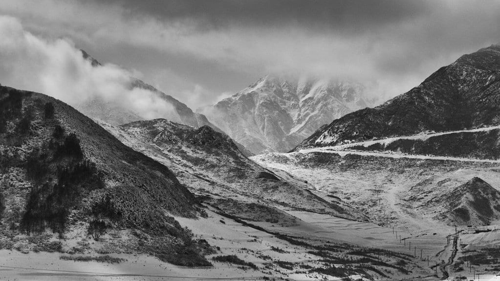
Stand anywhere on the Tibetan Plateau and the word that comes to mind is flat: a cold, thin-aired tableland averaging more than 4,500 metres above sea level, earning its nickname as the Roof of the World. But the roof is not level. Its western reaches and its central heart sit at subtly different heights, carved by different histories, and for a long time nobody could say why. The plateau's surface has been mapped in exhaustive detail; the reason for its lopsidedness stayed buried.
A study published in Nature Geoscience now offers an answer, and it lies deep beneath the rock underfoot. A team led by Weiwei Xue, working with geoscientists at the University of Glasgow and the Scottish Universities Environmental Research Centre alongside colleagues at Nanjing University, traces the plateau's uneven skyline to the way the Indian plate has been driven, at different rates in different places, under the Asian plate. What you see on the surface, in other words, is a readout of a collision happening tens of kilometres down.
To get there, the researchers had to date events that left almost no visible trace. Between 2017 and 2019 they collected granite and sandstone from two places at opposite ends of the plateau: Gerze, in the central highlands, and Rutog, out to the west, some samples gathered at altitudes near 4,800 metres. Back in the lab they applied low-temperature thermochronology, a family of dating techniques refined at Glasgow that works less like a calendar of when a rock formed and more like a stopwatch on its journey upward. As buried rock is pushed toward the surface and cools, it locks in a chemical record of that ascent. Reading it tells you how fast, and when, the rock was exhumed.
The two regions told different stories. Between roughly 45 and 20 million years ago, the western and central plateau were lifted and stripped bare at contrasting rates, evidence that they did not rise as a single rigid slab, but on separate clocks. The next question was what set those clocks running.
Here the team reached for a second line of evidence. Using existing age data from volcanic rocks of a distinctive chemistry, they reconstructed how far the Indian plate had been shoved beneath the plateau over time, region by region. The pattern lined up: where India had been underthrust further and faster, the overlying crust had been exhumed on one timeline; where the plate had advanced more slowly, the surface above kept a different pace. The deep engine and the visible landscape moved in step.
"This is the first convincing evidence that the subduction of the Indian plate beneath the Asian tectonic plate drove the formation of the Tibetan Plateau, and it explains the topographic differences between the eastern and western parts of Tibet," said Prof. Fin Stuart of the isotope geosciences group at SUERC. It is a claim the team scopes carefully to their own dataset rather than to the broader, decades-old debate over how the plateau grew.
That caution is warranted. How the Tibetan Plateau reached its height, and whether India slid flatly beneath it or plunged more steeply, has been argued over for the better part of a century, and a single pair of sampling regions does not close the case. What this work adds is a direct, dated link between a deep tectonic process and a specific feature of the surface (the plateau's east-west asymmetry) rather than a broad correlation. It is a peer-reviewed result, published in a major journal, and it is best read as a strong new data point in a long conversation, not the last word.
The stakes reach well beyond geology. The plateau feeds the headwaters of the Yangtze, the Yellow, the Mekong, the Brahmaputra and the Indus, and its sheer bulk steers the Asian monsoon and shapes climate far downwind. Understanding how such a landform came to be, and why it is not the same height everywhere, is part of understanding the systems that hundreds of millions of people live inside. The forces that wrote this skyline are still at work, grinding away, several kilometres beneath anyone standing on the roof.