Thunder Shakes the Ground, and a Buried Cable Turns It Into a Picture

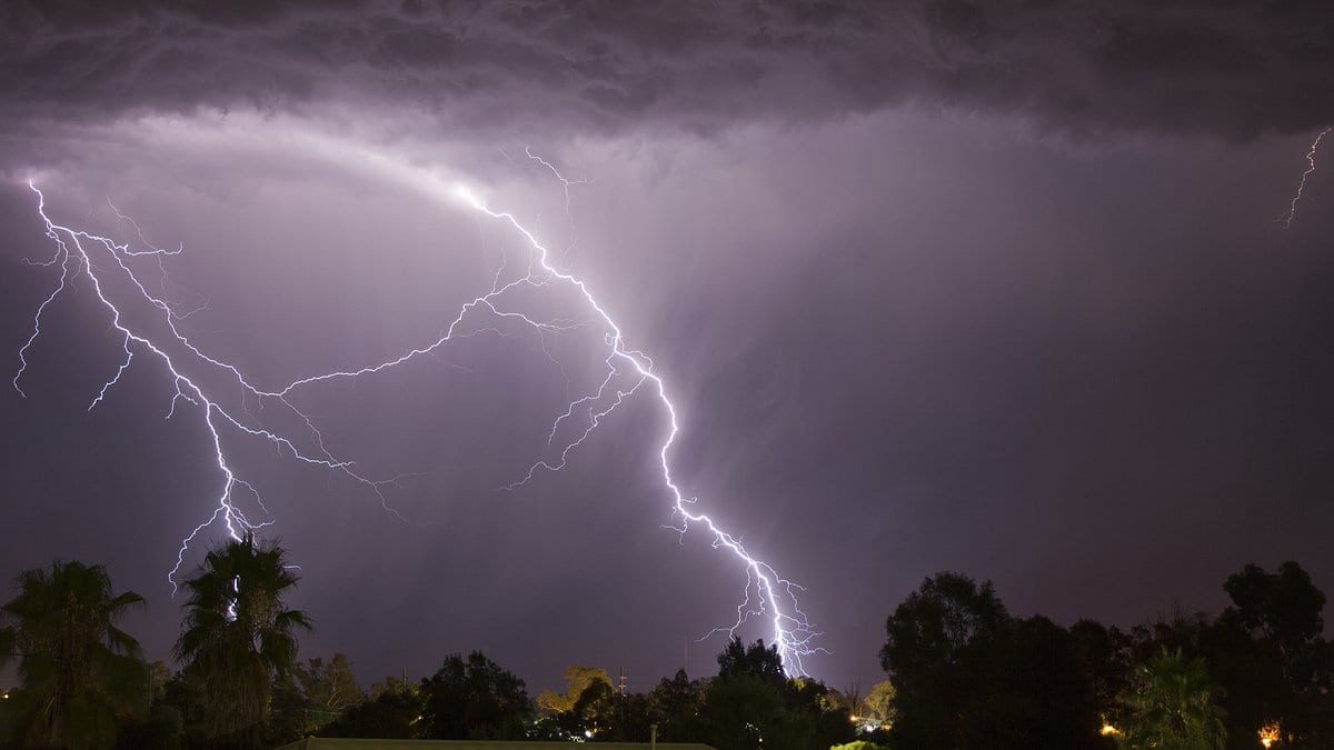
A thunderclap does two things at once. It rolls across the sky, and it pushes down. Part of that acoustic energy hits the ground and keeps going, converting into seismic waves that ripple through the shallow ground. Seismologists have known about these thunderquakes for decades and have mostly treated them as a nuisance: weather smeared across a record they were reading for something else.
A team led from Penn State has spent years listening to them on purpose. Their result, published Aug. 21 in Science Advances, is that thunder can serve as the seismic source for imaging the ground beneath a small city. Nolan Roth did the work as a doctoral student at Penn State and is now a postdoctoral researcher at The Ohio State University. The corresponding author is Tieyuan Zhu, an associate professor of geosciences at Penn State, and four colleagues share the paper.
The instrument was already in the ground. About 2.5 miles of ordinary telecommunications fiber runs a few feet under the University Park campus in State College, Pennsylvania, and the team shot a laser down it. Seismic waves stretch the glass by minute amounts as they pass, and the light scattered back from each stretched patch returns slightly out of phase. That is distributed acoustic sensing, and it converts a cable into a dense line of strain sensors. "With DAS, we are recording hundreds of samples every second and every few meters along the cable," Roth said in a university release.
Resolution is why the idea had not worked before. The conversion from air to ground is widely observed, the paper says, but has rarely been exploited for imaging, because the resulting wavefield is complicated and the physics governing it are poorly constrained. "Without incredibly high-resolution sensing, it's difficult to actually piece together what's going on when the thunder hits the ground," Roth said.
Over 2.5 years of continuous recording, the team assembled a catalog of 458 high-fidelity thunderquakes and checked each one against lightning records, so every event in it is tied to a strike known to have happened. They also modeled the coupling from first principles, using three-dimensional simulations and dispersion modeling to confirm that what the cable felt matched what the physics predicted.
The useful part of a thunderquake turns out to be an air-coupled Rayleigh wave: a ripple that travels along the surface, with longer wavelengths reaching deeper. Its speed depends on the stiffness of whatever it passes through. By cross-correlating the records from pairs of points along the fiber and stacking hundreds of storms, the team pulled clean, dispersed surface waves out of a messy source, and inverted them for shear-wave velocity to about 100 meters down.
A shear-wave velocity map is, in practice, a map of stiffness. Soft, slow patches are where the rock is broken, weathered or hollow. State College sits on karst, the kind of soluble limestone terrain that dissolves into voids and opens sinkholes at the surface with little warning. The imaging revealed several weak zones under the campus that had never been mapped, and some of them sit beneath ground that satellite radar has watched slowly deforming. Independent borehole logs and engineering surveys line up with the model, though the same group ran those checks, which is internal validation rather than a second team's data.
The appeal is the arithmetic of the source. An active survey needs a vibrator truck or explosives, a crew and permission to use them. Passive surveys need earthquakes, which is workable in California and close to useless in Pennsylvania. Thunder costs nothing, returns every storm season, and needs no truck to show up. The researchers point to the central and eastern United States, where the seismic record is thin, and to places where a survey crew is unwelcome or impossible: the Arctic, or a regulated city center.
Zhu lists what a shallow velocity map is good for: sinkholes and landslides, groundwater and mining resources, volcanoes and magma pockets. "Only tomography can give us information about the Earth's subsurface structure that we often cannot observe directly," he said. None of that is a result of this study. It is the list of questions the method is aimed at.
Fiber already in the ground has been read this way with much quieter sources than thunder. One group imaged the shallow ground from the footsteps of people walking above it.
The demonstration is a single site: one campus, one cable, one storm climate, and geology already documented well enough to check an answer against. Whether it travels is the next question. "There are all kinds of weather variability along the East Coast, so the question for the next step is: Can we move forward and think bigger?" Zhu said.
Roth is already looking further afield than the East Coast. "Knowing how atmospheres interact with surfaces will also be helpful as we continue to explore outside our own planet," he said. "Quakes on other planets and moons aren't well understood, so having a different source for seismic imaging might be necessary."
Sources
- Science AdvancesPeer-reviewed
- Science AdvancesPeer-reviewed
- www.psu.edu