Stone by Stone, a Desert Town Shows Where It Once Ended

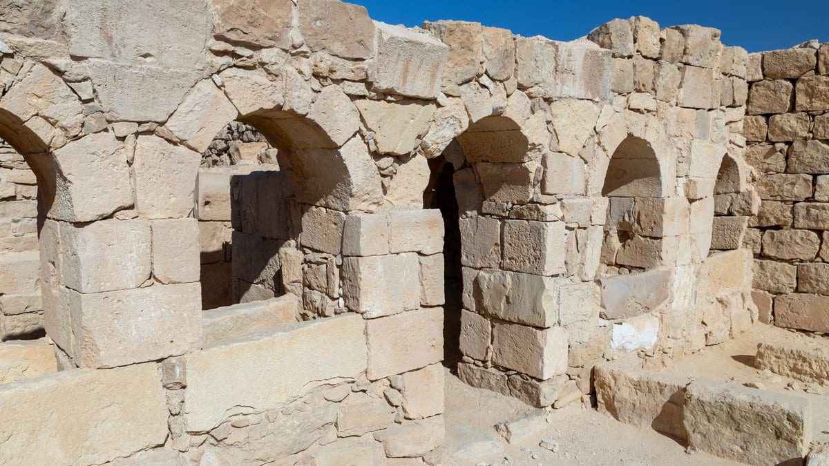
Shivta, in Israel's Negev Desert, is a town that fell down and was left where it fell. Some of its walls are still standing; the rest of it lies on the surface as loose building stone. Archaeologists have read a place like this the way masonry is read almost everywhere, by eye and one structure at a time. A team led from the University of Haifa has now measured Shivta's stones one by one, by machine, and the pattern in those measurements points to an edge of the built-up town that nobody had picked out before.
The study was published Oct. 28, 2026, in Proceedings of the National Academy of Sciences. Erel Uziel of the University of Haifa's Department of Archaeology is its first author, with four colleagues, among them Gary M. Feinman of the Field Museum of Natural History in Chicago. Its central move is a change of unit. Rather than describe a building or estimate the total volume of stone a settlement used, the team made the individual building stone the thing being measured. The measurements were then added up through walls, households, residential blocks and the town as a whole.
Two sets of pictures feed it. A drone flown low over the ruins yields one stitched image of everything lying on the surface. Close-range photographs of the walls that are still up yield the vertical face, which is where the style of a wall shows. Applied to Shivta, the system digitized approximately 235,000 surface stones and 12,000 stones in 604 walls, a sample taken from each of those walls rather than every stone in it.
The stone detector is not new, and the team does not present it as new. Uziel, Motti Zohar and Yitzchak Y. Jaffe published it in the Journal of Archaeological Science, working from drone imagery alone. Tested at nine archaeological sites in Israel, it picked out roughly 350,000 building stones. Jaffe, who is also an author of the Shivta paper, described the effect in an interview published Dec. 18, 2025, by The Jerusalem Post: "Sites that appear on the surface as scattered stones suddenly become coherent, organized spaces, and it saves a lot of research time." What the Shivta study adds is the vertical half. With the standing walls photographed close up, the system can score how a wall was put together instead of only finding the stones in it.
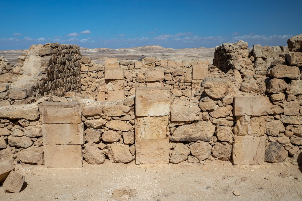
The scoring produces four results. The highest masonry scores cluster around the churches and around parts of the settlement boundary, which turns the care taken over a wall into something countable: a builder's judgment about what a wall was for, recoverable from the wall itself. The authors write that the spatial distribution of masonry variation "reveals a previously unidentified earlier boundary and provides evidence for outward expansion from a southern core."
The earlier boundary is a line inside the site where the character of the building changes, found in the numbers rather than in a trench. No one has excavated it, and it is not a town wall. The southern core, meanwhile, is already the standing reconstruction in Shivta scholarship, which takes the southern quarter for the oldest part of the town and has later growth spreading north. What the stones add is an independent, quantitative version of a case that was argued from the architecture.
The fourth result is the most concrete thing the paper says about practice changing over time. Set against the existing sequence of building phases, the measurements indicate larger and more regularly shaped stones going into the walls during Shivta's principal phase of growth.
Checking any of this does not require the authors' cooperation. They have put the whole analysis in a public deposit: the stitched drone image of Shivta, the trained models, the source code with a Dockerfile and step-by-step instructions for reproducing the analyses, the map layers, and a spreadsheet of the wall, household and block measurements that regenerates the correlations and the boundary tests reported in the paper. The code carries an MIT license, so another team can point it at another ruin field without asking.
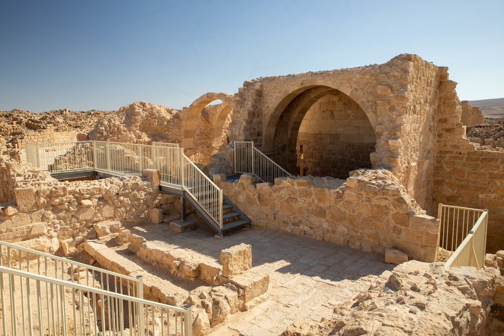
The claim the authors are most careful with is the one about everywhere else. They present the framework as "supporting broader application across diverse stone-built archaeological contexts" and as a way to compare construction practice settlement by settlement. That is a prospectus rather than a result: peer-reviewed as the paper is, the method has been applied to one town by one team. The one outside assessment on the record is about the earlier, drone-only tool. Hai Ashkenazi, who manages geoinformatics at the Israel Antiquities Authority, told the Press Service of Israel: "At first glance, this could be a development that would be very helpful for us at the Antiquities Authority, since it makes it possible to quickly draft site plans. At the moment, we are still testing it to see that it works with our files and across different types and colors of terrain."
The paper's reference list runs back to 1915, to C. L. Woolley and T. E. Lawrence's archaeological report on this desert for the Palestine Exploration Fund. A little over a century on, one of its towns has been counted stone by stone.