The Atlantic Holds a Clue to the Next El Niño. Why It Got Stronger Is Disputed.

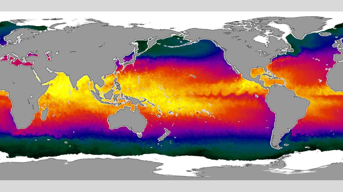
Every spring, a patch of ocean from off West Africa to the Caribbean runs a little warm or a little cool, and climate researchers watch it closely. The reason is not the Atlantic. It is the Pacific: the state of that water in March, April and May carries information about whether an El Niño or a La Niña will arrive the following winter. Those two swings move rainfall over farmland from Australia to southern Africa, so a clue to them is worth having. The strange part is that the clue has not held steady. It became a sharper one over the second half of the last century, and nobody could say what had changed.
A study published Oct. 28, 2026, in Environmental Research Letters offers an answer, and it points away from the Atlantic altogether. Yuqiong Zheng and Wen Chen of Yunnan University, with six co-authors at the Chinese Academy of Sciences and Seoul National University, point to something thousands of kilometers from either ocean basin: a pattern of warm and cool water in the North Pacific. It is an accepted manuscript, with the final published version still pending.
The pattern has a name, the Victoria mode, and it tracks how sea surface temperature varies across the North Pacific outside the tropics. It has a positive phase and a negative one. Since the middle of the 20th century, the authors report, the North Pacific has leaned toward the negative phase, and the leaning strengthened the northeasterly trade winds over the subtropical northeastern Pacific.
Stronger trade winds matter because of a loop that runs between wind, evaporation and the temperature of the water below. Faster wind evaporates more water, evaporation cools the surface it leaves, and a cooler surface changes the wind again. Turn that loop up, and the subtropical Pacific responds more strongly to anything that disturbs the air above it, including the atmospheric ripple that an unusually warm or cool Atlantic sets off. In the authors' account, the Atlantic's fingerprint now prints harder on the subtropical Pacific, and the same loop carries it down into the tropical Pacific. There, the ordinary give and take between tropical ocean and tropical atmosphere can grow it into an El Niño or a La Niña.
None of that chain comes from observations. It was assembled from large sets of climate model runs and from separate experiments in which only the atmosphere was modeled. The third tool was an algorithm called PCMCI, which sorts genuine causal links from coincidental ones. It asks whether a connection survives once everything else is held fixed, including a variable's own recent past. The authors are careful with their verb: the Victoria mode is a modulator of the Atlantic clue, not a cause of El Niño. It changes how loudly one ocean's signal reaches the other.
Two other research groups have published different answers to that question, and one of them doubts the question. In Nature Communications on Feb. 16, 2023, Ruiqiang Ding and eleven colleagues argued that the Atlantic clue is governed by the North Atlantic Oscillation, a seesaw in air pressure over the North Atlantic that strengthens and weakens over decades. They also traced the clue over a longer record, and it is not on a steady climb at all: it comes and goes over stretches of several decades, and neither the Atlantic's own slow temperature swing nor the warming trend accounts for it.
The sharper challenge came earlier, in Nature Communications on May 25, 2021, from Wenjun Zhang, Axel Timmermann and three colleagues. Their argument is that the Atlantic clue may not be a clue at all. An El Niño warms the tropical North Atlantic the following spring; that much nobody disputes. But an El Niño also tends to be followed by a La Niña. So the warm Atlantic patch will line up with a La Niña a few seasons later whether or not the Atlantic pushed on the Pacific at all, purely because El Niño follows itself in a rhythm. To test that, the team ran model experiments in which the Pacific was allowed to force the Atlantic and the Atlantic was not allowed to force the Pacific. The apparent Atlantic lead showed up anyway. They concluded that the observed pattern is consistent with a one-way push from Pacific to Atlantic.
That critique is why the new paper's choice of tool matters. PCMCI was designed for the problem Zhang and Timmermann raise, which is a time series that looks like a cause because it echoes its own past. Running it on this question is a direct answer to the objection rather than a way around it. It is not a verdict on it. The new result is one group's attribution, drawn from models, standing against a published rival attribution and a published argument that there is nothing to attribute.
The study's subject is the strength of a relationship, not the state of the Pacific: it forecasts nothing and makes no claim about how well El Niño can be predicted. What is at stake is narrower: whether the sign researchers read in the spring Atlantic is a real lever on the Pacific, and if it is, what makes it loud in some decades and faint in others. Two explanations are now on the table, and they are not strictly exclusive. An Atlantic pressure seesaw and a North Pacific temperature pattern could both be pushing on the same link, in which case the question is how much of it each one owns.