A Free Tool Turns 26 Mud Samples Into a Map of an Estuary's Plastic
Researchers in Germany have released an open-source tool that estimates how much microplastic lies buried in estuary sediment at places nobody has sampled. The tool, called NIXVEGS, predicts particle concentrations from sediment properties that are faster to measure, such as how coarse or fine the grains are.
Measuring microplastic in sediment is slow laboratory work, so coverage is thin and regional totals stay rough. The paper, published Oct. 10, 2026, in Microplastics and Nanoplastics, reports that the model's predictions increased spatial coverage 7.6-fold beyond the original 26 analyzed sediment samples. The authors describe the tool as an aid to regional plastic management and to the wider effort to pin down a global microplastic budget.
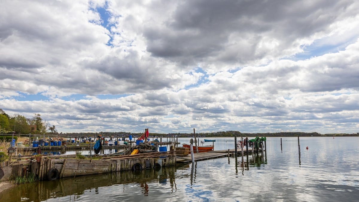
Those samples came from the Schlei estuary on the Baltic Sea coast of northern Germany. Kristina Enders and Matthias Labrenz of the Leibniz Institute for Baltic Sea Research Warnemünde, writing with colleagues at three other German institutes, used the predictions to put the estuary's sedimentary microplastic at about 20 trillion particles of 50 to 5,000 micrometers, or about 14.3 tons after a conversion from particle shape to mass. Both totals are extrapolated from a model trained on those samples, not measured counts.
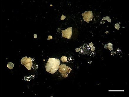
The authors report that existing microplastic distribution models were built for ocean basins or simpler water systems and adapt poorly to how unevenly plastic is spread through an estuary. NIXVEGS, they add, assembles standard machine-learning components around the sparse data typical of microplastic field studies.
The work was funded by Germany's BMBF research program on plastics in the environment and by the EU's BONUS program. The paper is open access under a Creative Commons license, and the version now posted is an accepted manuscript that will be replaced automatically by the final version of record.
Sources
- Microplastics and NanoplasticsPeer-reviewed