Groundwater Shapes Where Plants in the U.S. Photosynthesize Most
An open-access study published Sept. 26 in Communications Earth & Environment reports that how deep groundwater sits below the surface helps determine where plants across the contiguous United States photosynthesize most, and that in forests its influence comes close to that of climate dryness.
Francesco Giardina of ETH Zurich and Columbia University, senior author Pierre Gentine of Columbia University and colleagues write that pinning the effect down matters for modeling how land and air exchange water. Groundwater's contribution to the pattern of plant activity had stayed poorly quantified next to better-known factors such as how dry a region's climate is.
The paper puts groundwater's relative importance at 48% to 101% of the effect attributed to dryness in forests. For savannas and shrublands the range is 30% to 58%, for grasslands 22% to 42% and for croplands 15% to 32%.
The team worked from satellite readings of solar-induced fluorescence, the faint glow leaves give off while turning sunlight into sugar, alongside modeled values for water table depth and dryness. The water table numbers are model estimates rather than direct measurements. The authors describe their method as causality-guided machine learning, built to separate influence from coincidence.
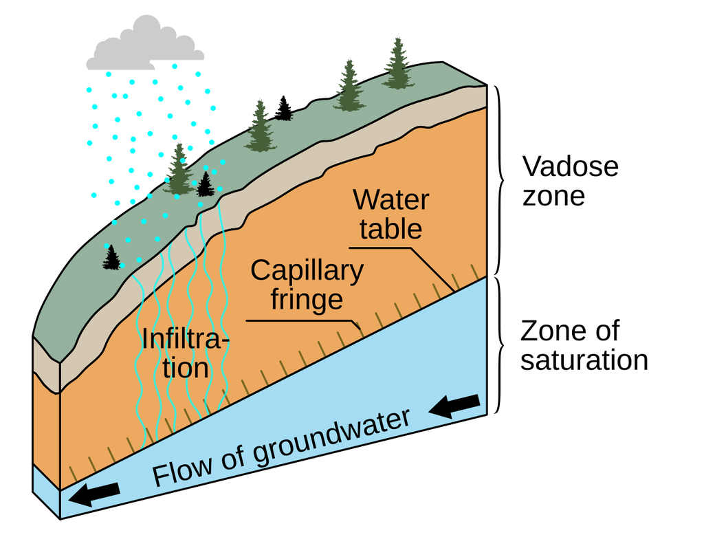
Their conclusion is that water tables govern how much water reaches the rooting zone, an effect the researchers describe as comparable in size to that of climate dryness. The fact that plants tap water stored in aquifers to keep going through drought is long established; the study treats it as a known survival mechanism and asks how far it shapes the map of plant activity across a continent.
The work was funded by the Swiss National Science Foundation, the LEMONTREE project supported by Eric and Wendy Schmidt through Schmidt Futures, a European Research Council synergy grant and the U.S. National Science Foundation. Springer Nature published the paper as an accepted version, which will be replaced by the final version of record.
Sources
- Communications Earth & EnvironmentPeer-reviewed