Scientists Released Methane on Purpose for a Year to See Which Satellites Noticed
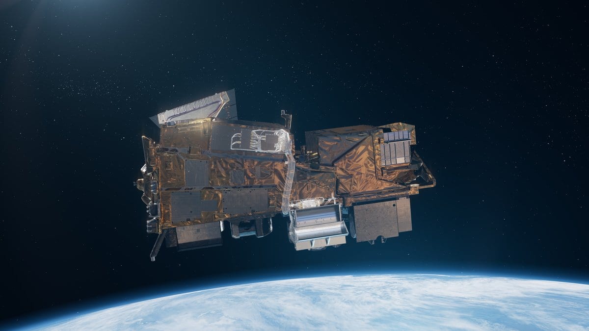
For a year, a research team released measured amounts of methane at a site in Arizona, timing each release to the moment one of 12 satellites passed overhead, and had analysis teams in nine countries score the images without knowing what had been released. The paper, published Oct. 14, 2026, in Nature, reports that instruments built to look for methane found at least 92% of the releases, while satellites repurposed for the job found 62% to 88%.
Methane is a powerful greenhouse gas, and satellite images are increasingly used to find large leaks of it. The authors say independent evaluation of those instruments and their software has been limited. New satellites and artificial-intelligence methods, they add, had not been tested under controlled, single-blind conditions, where the scoring teams do not know what was released. Their report in Nature covers 481 metered releases of 9.5 to 1,183.7 kilograms an hour, with 265 blank overpasses mixed in, where nothing was released.
Frances E. Reuland and Adam R. Brandt of Stanford University and colleagues report that those purpose-built sensors produced false detections at rates of 11% or lower. Both classes of instrument misjudged the size of a release by a similar margin, averaging 44% and 46% away from the metered value. Broad land-scanning satellites detected poorly at the rates tested, although the paper credits their consistent global coverage and long archives.
Of all the false detections recorded, 79% came from methods based on artificial intelligence. The authors call those methods promising but say caution is warranted. Cloud cover above 20%, measured on the ground, degraded performance across every system, which the paper says raises concerns for use in some locations.
The authors call their work among the first evaluations of three of the instruments, EMIT, Tanager-1 and GHOSt. Their conclusion is bounded: satellites can find and size methane point sources, single leaking sites, accurately when the location is already roughly known.
The work was funded by the Global Methane Hub, the Grantham Foundation, Saudi Aramco and the Stanford Natural Gas Initiative.
Sources
- NaturePeer-reviewed