Where the Mountains Make the Storms Worse, and the Campaign Flying Into Them to Find Out

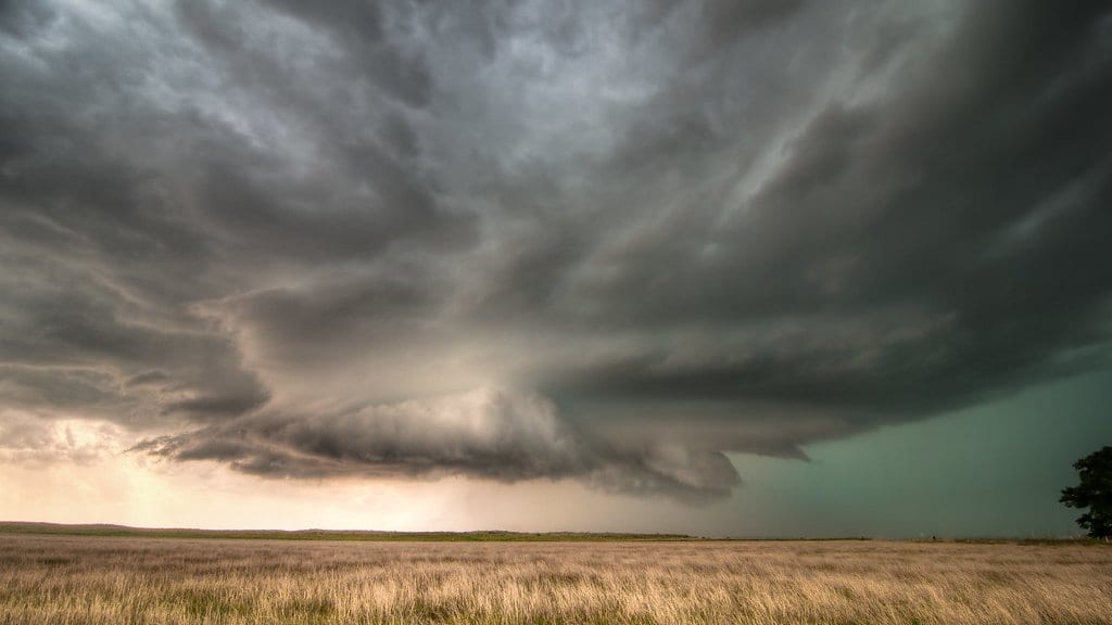
A hailstone measured 16 centimetres across when it fell over northern Italy in 2023, roughly the width of a dinner plate. Eight years earlier, an F4 tornado tore through Mira and Dolo near Venice, at the violent end of a scale most people associate with the American Midwest, not the Veneto. Italy sits in one of Europe's busiest corridors for severe convective weather, and the storms that pass through it can be as extreme as almost anywhere on the continent.
What the country lacks is a full explanation of why they behave the way they do. A review published on 21 July 2026 in Natural Hazards and Earth System Sciences, led by Mario Marcello Miglietta of Italy's National Research Council with more than thirty co-authors from universities, regional environmental agencies and the civil-protection department, takes stock of that gap. It is less a new discovery than a map of what is known, what is not, and where the field should point its instruments next.
The mountains in the machinery
Run a finger along Italy's severe-weather record and a pattern appears: the worst storms cluster where terrain meets flat land or open sea. That is not a coincidence, and the physics is only partly pinned down. Mountains channel low-level winds through gaps and valleys, concentrating the flow. They force humid air to climb their windward slopes, giving convection a shove upward. Along the coast they focus convergence, the place where a moist marine layer piles into rising ground and storms find their trigger.
Each of those mechanisms is understood in outline. What is missing is the fine detail: how they combine on a given afternoon, why one ridge lights up while a similar one nearby stays quiet, and how to fold that behaviour into a forecast that warns the right valley at the right hour. The review is blunt that the granular, storm-scale understanding still isn't there.
The south that data forgot
The gap widens as you move down the peninsula. Most of Italy's severe-storm research has concentrated on the north, where activity is most intense and observation networks are densest. The central and southern Apennines, with their modest but steep relief and sharp land-sea contrasts, remain thinly studied even though they, too, produce dangerous storms. The review flags this imbalance directly: parts of the country most exposed to poorly forecast convection are also the parts science has watched least.
Flying into the question
The paper is written to set up an answer. It frames the open questions for TIM, described as the first pan-European field campaign dedicated to severe convective storms, coordinated by the European Severe Storms Laboratory. From 2028 to 2030, the campaign plans to put instruments where the models are guessing.
Two Italian research aircraft, a SkyArrow ERA and a Piper Seneca III, are slated to sample the aerosols and cloud microphysics inside and around storms: the small-scale particle and droplet processes that decide whether a cloud grows hail or rain, and that satellites and ground radar can only infer. The goal is coordinated, direct measurement of the interactions that current forecasts have to approximate: how aerosols feed convection, how terrain shapes a storm's intensity, and how a warming climate is shifting the odds.
None of that data exists yet. TIM has not flown, and this review is an agenda rather than a result; it says, in effect, here is what we need to go and measure. But the value of naming the unknowns precisely, before an expensive campaign commits its flight hours, is exactly the kind of groundwork that decides whether the answers come back sharp or blurred. When the aircraft finally climb into an Italian thunderstorm, they will be chasing questions this paper took care to write down.
Sources
- Natural Hazards and Earth System SciencesPeer-reviewed