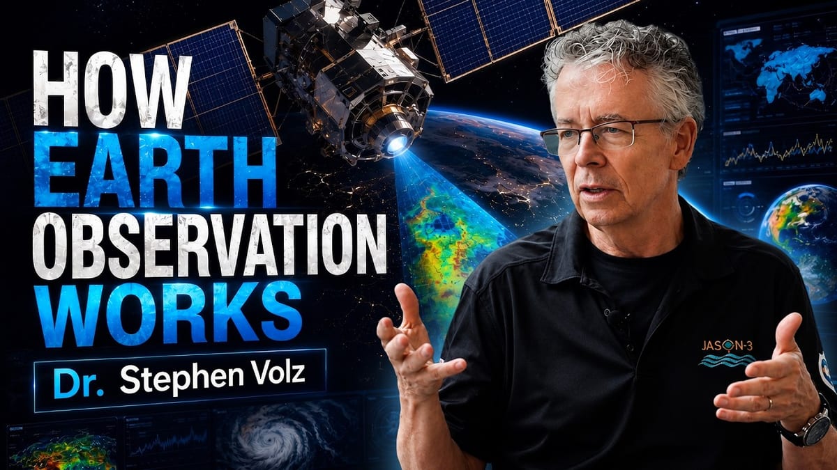
Dr. Stephen Volz, Former NASA and NOAA Scientist, on What Satellites Reveal About Our Changing Planet
The conversation in brief
In this conversation, Dr. Stephen Volz explains how satellite observations connect our understanding of Earth to decisions that affect everyday life. Better observations can help communities prepare for extreme weather, wildfire smoke and emerging health risks, while decades of continuous measurements reveal long-term environmental changes. Sharing these data across borders helps us understand Earth as an interconnected system and turn that understanding into informed decisions that protect people.
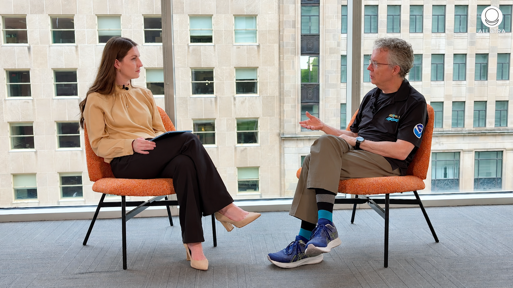
This article is based on a conversation with Dr. Stephen Volz for the ALLATRA podcast.
Watch the full videoDr. Stephen Volz helped build America's satellite infrastructure. In a conversation with ALLATRA, he explains what the data is telling us about our planet and our future.
When you check the weather on your phone to see if you need an umbrella, the answer begins far above you. Behind the sun, cloud, or raindrop on the screen is a system most people never see: dozens of satellites orbiting Earth at heights from 800 to 36,000 kilometers, supercomputers processing huge amounts of real-time weather data, and thousands of scientists working across national borders to turn those observations into something as ordinary as tomorrow's forecast.
From Individual Atoms to Everything
Dr. Volz spent more than three decades helping to build that infrastructure, but his path began in physics, at a vastly different scale. Initially a physicist, he started his career studying quantum mechanics and individual helium atoms at low temperatures. When he later joined NASA's Goddard Space Flight Center, his first satellite mission took him almost as far from those individual atoms as it was possible to go: it was "studying the Big Bang, the origins of the universe, and the cosmic microwave background," as Dr. Volz recalled. He sums up the jump in scale neatly: "So you go from individual atoms to everything."
Dr. Volz holds a doctorate in Experimental Condensed Matter Physics from the University of Illinois at Urbana-Champaign. He spent the early years of his career at NASA's Goddard Space Flight Center working on missions, including the Cosmic Background Explorer (COBE), the satellite that provided the first detailed measurements of the cosmic microwave background radiation left over from the Big Bang. He later served as NASA's Associate Director for Flight Programs in the Earth Science Division, overseeing missions including CloudSat, CALIPSO, and ICESat. In 2014, he joined NOAA as the head of the National Environmental Satellite, Data, and Information Service, the agency responsible for America's operational environmental satellite fleet, including the GOES and Joint Polar Satellite System programs that underpin U.S. weather forecasting.
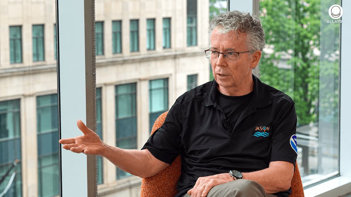
Over time, his attention shifted from the universe as a whole to the planet in between — and years of observing Earth through instruments designed to measure its separate parts seem to have led him toward a view in which those separations matter less. "When I look at the Earth, I don't see all these different things," Dr. Volz explains.
I don't see oceans, atmosphere, and land. I see an interconnected biosphere of everything working together.
Satellites may track different variables — temperature, humidity, ocean color, atmospheric chemistry, cloud cover — but each measurement is only one part of a much larger picture. As more of those measurements are brought together, "You see the whole thing much better," in Dr. Volz's words. "It's really the connectedness." The image he uses for the planet is even more concise still: "a living, breathing organism."
Watching a Planet in Motion
Weather forecasting offers one of the clearest demonstrations of what it means to observe that organism in motion. Every forecast begins with what scientists call an "initial state" — a mathematical snapshot of where the atmosphere stands at a particular moment. Building that snapshot requires simultaneous observations from satellites operated by the United States, the European Union, Japan, South Korea, and other nations, with their data feeding into numerical weather models that calculate, step by step, how the atmosphere will evolve over the next hours, days, or week.
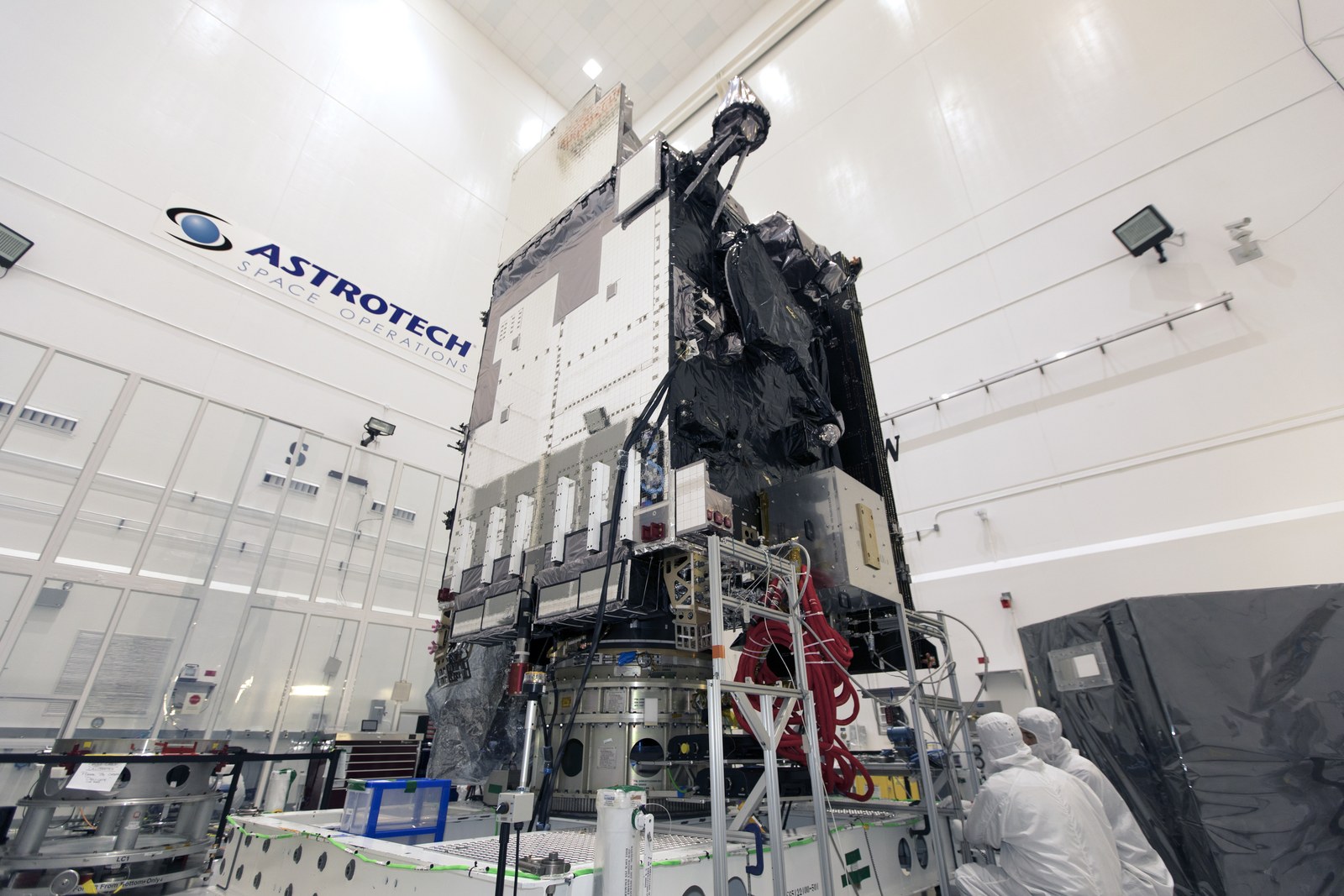
The scale of that calculation is easy to miss when its final product is a small icon on a phone. Dr. Volz brings it back to the physical problem underneath: "Think about it," he says.
Every atom, every piece of air on the planet is moving at any time. And you want to understand how the air from here is going to move there. Is it going to be hotter or colder? Is it going to be rainy or not?
Satellites provide only the beginning of the answer. Running the models takes supercomputers; interpreting them requires meteorologists; turning their results into action depends on broadcasters, emergency managers, and public health officials. From the first photon detected by a satellite sensor to an alert appearing on a phone, the forecast is the end of a chain built by thousands of people, across many countries and over generations.
Dr. Volz notes that today's seven-day forecast is about as accurate as a three-day forecast was twenty years ago. The improvement becomes tangible in the almost casual specificity people now expect: "You'll say it's going to rain at 6:30 and it'll be gone by 7:15. And you'll find it's pretty good." For most of us, that precision may mean knowing exactly when to carry an umbrella. But the same system becomes something very different when what is approaching is dangerous heat, wildfire smoke, or the environmental conditions that allow disease to spread.
When Forecasts Become Life-or-Death Decisions
Extreme heat is one example. During a recent major heatwave in the Eastern United States, early warnings from satellite-fed models — the same broad forecasting infrastructure behind everyday weather apps — gave communities several days to prepare. Cooling centers could be opened, advisories sent out, and people at greater risk identified in advance.
That's a clear example of satellite data and satellite-based weather models affecting your daily activities for weeks at a time.
According to the World Meteorological Organization, heat-related deaths globally increased by more than 60 percent between the 1990s and the 2010s. Heat health early warning systems, which depend directly on satellite-driven forecast models, are now recognized by the WHO and WMO as among the most effective tools for reducing that mortality toll.
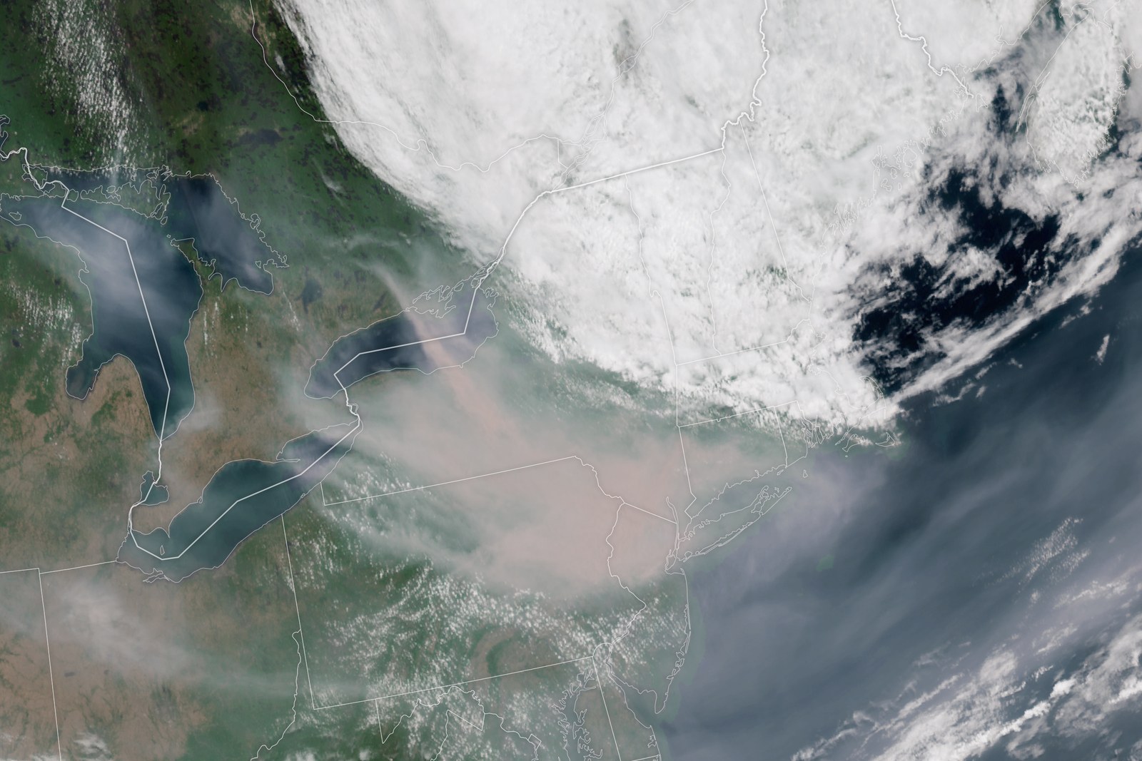
Other hazards can be followed almost as they unfold. In 2023, when Canadian wildfires pushed dangerous air across the Eastern Seaboard, geostationary satellites tracked the smoke in real time while atmospheric models predicted where it would travel next, state by state and day by day. By the time that complex satellite-to-model system reached the public, its message could be compressed into a few practical words — "don't go outside, wear a mask" — particularly for people with asthma. The people acting on those warnings did not need to see the layers of technology and cooperation behind them.
Some warnings operate on a much longer timescale. One of Dr. Volz's examples involves mosquitoes. As winters get warmer and frosts come later and end earlier, populations that once could not survive northern winters are establishing themselves at higher latitudes. Satellite-based climate modeling can help track how the conditions associated with diseases such as West Nile virus and Zika are changing. Dr. Volz puts the possible shift in unusually concrete terms: "In the next five years, there will be an increase in Zika and West Nile virus in West Virginia, where it never existed 20 years ago." The significance, for him, is not simply that such a change might be foreseen. It is the time that foreknowledge creates: five years in which health systems can train doctors to recognize unfamiliar symptoms, expand surveillance, and prepare diagnostic resources before cases appear.
A Global System for a Borderless Atmosphere
Whether the threat develops over hours or over years, following it depends on observations that no single country can collect alone. The same interconnectedness Dr. Volz sees in the Earth system appears, in another form, in the infrastructure built to observe it.
The World Meteorological Organization, a United Nations group with a history of international data sharing that goes back about 150 years, has set up a system where countries freely share satellite observations, atmospheric measurements, and model results in real time, without charging each other. Weather data is seen as a global public good, based on the idea that storms do not stop at national borders.
For NOAA, Dr. Volz describes the value of that exchange in almost ledger-like terms: "For every observation we put into that global consortium, we get two back." And when co-development and investment are included, the calculation becomes even more striking: "In terms of co-development and co-investment, we're getting a threefold return on whatever we put in."
Building the same capability independently, Dr. Volz estimates, would cost three to four times more and would still work less effectively. Yet cooperation has not eliminated competition. He describes the relationship as "what we'd call a friendly competition." The participating agencies continue to push one another "to do better models, to do better satellites," while at the same time recognizing that "we're learning from each other." Competition, in other words, happens inside a system that works precisely because no participant is truly operating alone.
What the Long Record Reveals
There is a parallel here with the planet those satellites are watching. The longer the observational record becomes, the harder it is to see atmosphere, ocean, land, or human activity as independent systems. And in Dr. Volz's account, some of the most powerful forces changing that connected planet today are no longer the natural events satellites were originally built to monitor.
We are probably the primary actors in world change today, humans. Not hurricanes, not solar storms. It's us who are affecting the planet.
He points to the temperature record as one signal: "8 of the 10 hottest years on record were in the last 10 years. There's definitely a signal there. It's not random." But atmospheric temperature is only one part of the picture. The oceans, which absorb most of the excess heat in the Earth system, show how much energy can accumulate outside everyday human perception.
Dr. Volz expresses the difference through a comparison of scale: "A 1-degree temperature rise in the ocean is equivalent, in terms of energy, to a 100-degree temperature rise in the atmosphere." What is accumulating, in his formulation, is "this juggernaut of power, of energy," one that is "going to take a thousand years to dissipate."
That timescale changes the meaning of other accumulated changes as well. Plastics in the ocean, CO2 in the atmosphere and dissolved in ocean water, and pollution distributed throughout the biosphere do not merely disappear when attention moves elsewhere. On a human timescale, Dr. Volz reduces the point to four words: "It's here," he says, "and it's not going away."
From Seeing the Planet to Understanding It
There is a certain symmetry in the path that brought Dr. Volz to that conclusion. Dr. Volz began with individual atoms, moved outward to radiation left from the birth of the universe, and then spent decades helping build instruments capable of watching the Earth between those two extremes. Those instruments can now follow smoke across a continent, calculate how air will move days in advance, and detect environmental changes whose consequences may unfold years or even centuries later.
Yet the value of seeing farther ahead is in what becomes possible once a change is visible before its consequences have fully arrived — whether that means opening a cooling center, preparing a health system, or recognizing that some shifts in the Earth system will outlast the generation observing them. After more than 35 years helping to build the instruments behind that view, Dr. Volz distills their purpose into a much more fundamental idea: "Understanding the planet," he says, "is critical to surviving life in a changing world."
The journey from individual atoms to "everything" ends, in a sense, back here: with one planet, understood not as a collection of separate parts, but as a system whose connections have become increasingly difficult to ignore.
Watch the full conversation
This article is based on a conversation with Dr. Stephen Volz for the ALLATRA podcast.