How the Desert Quietly Erases the Scars of Ancient Earthquakes

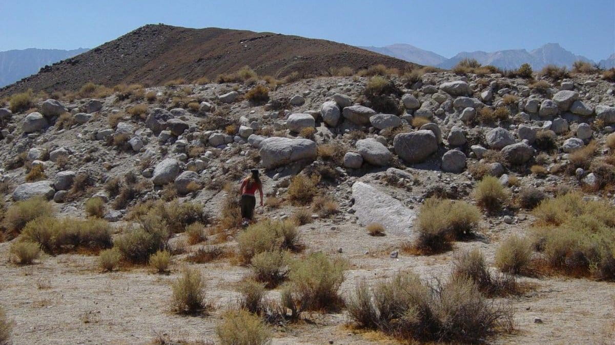
Stand at the edge of a fresh earthquake rupture, and the ground tells you exactly what happened. Cracks fan across the desert floor. The surface is offset, sometimes by metres, along a ragged seam that can run for tens of kilometres. Geologists read these scars like a paper trail, walking them, trenching across them, and reconstructing when a fault last broke and how hard, the raw material of every earthquake-hazard map.
The trouble is that the paper trail is being shredded, slowly, from the moment it forms. That is the problem Malinda Zuckerman and colleagues at Arizona State University, with co-authors at Caltech and Utah State, set out to quantify in a study published 14 July 2026 in the diamond-open-access journal Seismica. Their question is deceptively simple: if you leave an earthquake scar in a desert for ten thousand years, how much of the story can you still read?
To answer it, the team did not wait ten thousand years. Instead, they fed high-resolution lidar (laser-scanned topography captured just after two real ruptures) into a landscape-evolution model and let erosion run forward in fast motion. The lidar came from the 2019 Ridgecrest earthquake in the Mojave Desert of California and the 2010 El Mayor-Cucapah earthquake in Baja California. The model itself is a workhorse of the field: two-dimensional linear diffusion, implemented in the open-source Landlab toolkit, which treats a scarp much like a pile of sand that slumps and smooths over time. The researchers stepped the simulation out to 100, 1,000, 5,000, and 10,000 years and, crucially, went back to Ridgecrest in 2024 to check the modelled degradation against how the real rupture had actually weathered in the intervening years.
Two numbers carry the result. First, mappable length. After 10,000 years of simulated erosion, only 20 to 80 percent of the original fault-trace length remained visible. In the worst cases, that means four out of every five scars a geologist would map today will have vanished. Second, width. A fault zone that started with a mean width of about 30 metres narrowed to roughly 2 metres. The scattered, braided mess of cracks that a real rupture leaves behind collapses, over time, into a single tidy line.
That collapse is where the hazard bias creeps in. A wide, complex, multi-strand rupture zone is a signature of a large, messy earthquake. As erosion erases the outlying strands and keeps only the central one, the same event starts to look like the work of a smaller, simpler fault. Read the surviving scar at face value, and you would underestimate both how wide the ground can break and, potentially, how big the earthquake was.
The timing of the loss matters too. Degradation is fastest in the first century after a rupture, then slows markedly, so the freshest, most informative scars are also the ones fading quickest. And not all faults age alike. The team found that simple, single-strand fault zones hold on to more of their mappable length and degrade more slowly than complex, braided ones. In other words, the ruptures that erosion flatters most, by making them look simpler than they were, are precisely the complex ones that carried the most information to begin with.
The practical payoff is a way to see the gaps. If a hazard model knows that a 10,000-year-old scar might preserve as little as a fifth of its original length, and that its apparent width has shrunk by an order of magnitude, it can stop treating the surviving trace as the whole story. It can widen the uncertainty on how far the ground might rupture, and it can weigh faint or fragmentary scars more heavily rather than dismissing them. For a discipline that reconstructs the future of earthquakes from the eroded handwriting of the past, knowing exactly how the ink fades is its own kind of forecast.
Sources
- SeismicaPeer-reviewed