A Flood Model Built on Grand Theft Auto V Resembles Published Maps of Los Angeles

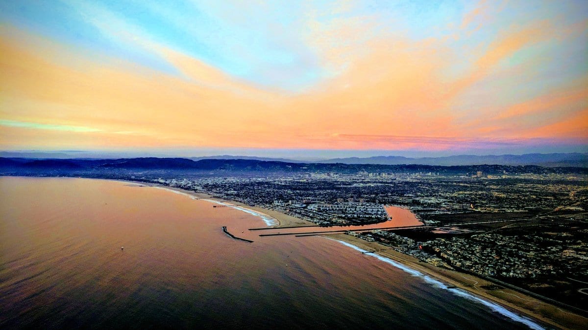
Millions of people have driven past the canals of Vespucci without ever setting foot in California. They have crashed cars into the water there and jogged the beach frontage beside it, inside a video game. In work published Nov. 17, 2026, two researchers raised the sea over that invented coast and watched the marina go under first, then the streets a block inland.
Vespucci is the Venice Beach of Los Santos, the city at the center of Grand Theft Auto V. The game has sold more than 225 million copies, and its coastline was modeled on the real one. Paul Nörenberg of the University of Potsdam and Hugues Lantuit of the Alfred Wegener Institute took that likeness as a test. They asked two questions in Geoscience Communication: Can a game world carry a serious flood model, and does the pattern it produces resemble what scientists have published about the real city?
Rockstar Games would not hand over the terrain: The paper reports that "a formal request to the developer was declined on grounds of publishing rights." So the work starts from a mesh of the island published by a Sketchfab user called Somnit. Nörenberg converted it into a height grid, pinned that to a satellite-style map of the game world, and then had to find sea level, which the terrain does not mark. He picked out sandy beach points and checked every one in-game from a helicopter; Mount Chiliad, the game's highest peak at 798 meters, set the scale from pixels to meters.
Raising a flat sea over a city that is not there
The flood model itself is deliberately simple: a patch of ground counts as flooded if it lies below a chosen water line, a "bathtub" approach that assumes the sea arrives everywhere and stays. The levels come from the IPCC's Fifth Assessment Report, one pathway with deep emissions cuts and one with none. In both cases, the authors took the upper bound of the assessed spread, so every level here is the high end of a range rather than a best estimate. On top of that, they added 1.591 meters, the highest still-water level in the Los Angeles tide gauge record, reached on Jan. 10, 2005.
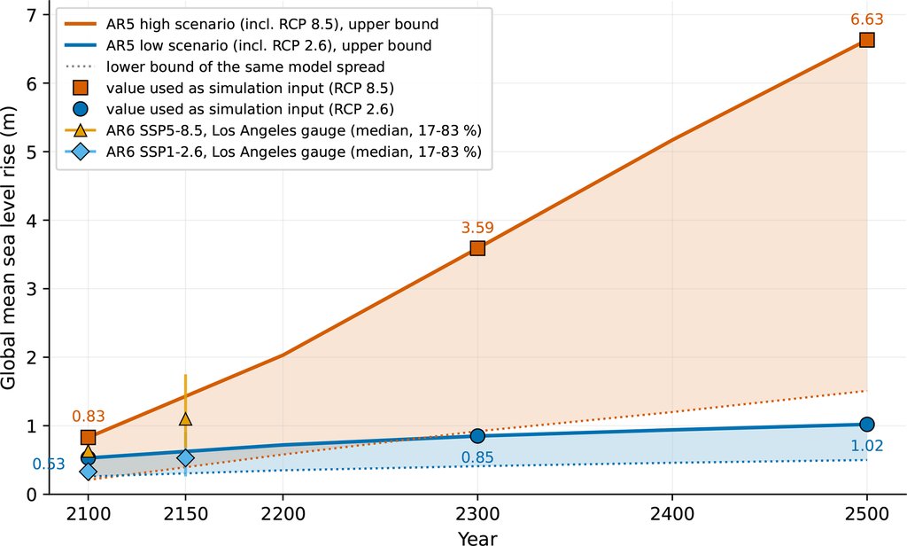
Under the high-emission pathway with that surge on top, the water stands 5.18 meters above present sea level by 2300. The model puts 5.1% of the island's land below it: the port, the wastewater works and the coastal energy plants are all within the line. By 2500, the flooded share reaches 6.5%. Under the pathway with deep cuts, the same surge floods 2.2% at 2300 and touches no major infrastructure. The ice-sheet component behind those far horizons carries low confidence, and the authors call it the weakest part of their scenario set.
Where the game and the published studies agree
Nörenberg and Lantuit set their results beside two published assessments of Los Angeles, one prepared for the city by USC Sea Grant in 2013 and one on Venice by the engineering firm Moffatt & Nichol in 2018. The matching is done district by district and by eye. Their own summary: "Qualitative comparison with published vulnerability analyses for Los Angeles confirms close spatial correspondence in flood patterns across three representative district pairs." No score for how closely the two agree appears anywhere in the paper.
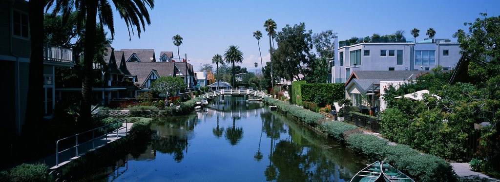
Three district pairs carry that claim, and only one is a case of land going under water. In Vespucci as in Venice Beach, both the model and the USC Sea Grant study put the marina and canal district in the primary flood zone at extreme levels near 3 meters. Along the Pacific Palisades coastline and its game counterpart, both find little direct flooding of the coastal highway, and agree the threat there is erosion taking the road, which neither method models. At the port, the agreement is a negative: the game port stays dry at 2.61 meters and goes under at 5.18 meters, while the study maps no flooding at the Port of Los Angeles under a comparable storm, though it flags the port as at risk at higher seas. Both analyses also leave the airport unthreatened, which the authors call their one specific and checkable point of agreement.
The figure that carries the comparison sets a U.S. Geological Survey storm model for the Los Angeles coast beside the game surface at a close but not matching level, a pair its caption calls "broadly comparable but not identical." The game mesh resolves no buildings and no road embankments, so modeled water can push farther inland than a real street grid would let it, in Vespucci most of all. The height of the terrain "cannot be formally validated against surveyed benchmarks," which matters most where the rise is smallest. And parts of the real harbor district are sinking, so the true threshold there may sit lower than the model implies.
What the authors would and would not do with it
The obvious use is a school lesson, and they argue against it. Grand Theft Auto V is rated 18 and over in Germany and most other places. Mods that strip out the weapons and the adult content are common, so an age-appropriate build is achievable, but, as the authors put it, "the familiarity such a lesson would trade on comes from the unmodified game, which the intended age group is not supposed to have played." For classrooms, they point instead to CoastCraft, openly licensed Minecraft materials made for England's Environment Agency, which show a real coast.
What they do recommend sits outside school: videos by creators who already make climate content in the game and can now use sourced layers instead of invented ones, museum installations and, above all, teaching people how to read a flood map. Static pictures like these circulate widely and are a known source of confusion. The paper states its own limit plainly: "The maps presented below should therefore be read as showing land lying below a given still-water level, not as predictions of where water would actually reach during a specific event."
The flood outlines for every scenario and the code sit in an open data deposit, with a curve that reads off the flooded area at any level up to 10 meters without re-running the model. The terrain cannot be passed on: The fan who published the mesh withdrew it afterward, and neither it nor the calibrated model may be redistributed.
The analysis is Nörenberg's, out of a master's thesis at Potsdam; he is also at the Kopernikus-Gymnasium Blankenfelde, a secondary school. Lantuit, who supervised it, is the corresponding author. The journal reviewed the paper in the open and marked it a highlight. It opens on a line from Franklin Clinton, one of the game's three protagonists: "I don't mind dyin', you feel me? But I just want to die over somethin' that matters, homie." Their closing point is that the medium has to matter to the people who need to hear it.