1,049 Disasters, 123 Years: A Catalan Volcanic Region Builds Its Own Hazard Memory

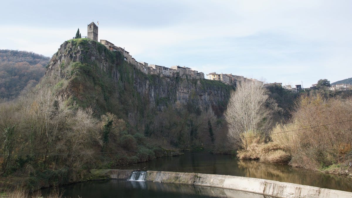
In a volcanic corner of northeastern Catalonia, a good deal of the local disaster history had never lived in any single place. Some of it sat in government seismic catalogues. Some was buried in a century of newspaper columns. And some existed only in the recollections of people who had watched a river rise or a hillside give way.
A study published on 21 July in Natural Hazards and Earth System Sciences gathers all of it into one place. Led by Arnau Lagresa and Marta López-Saavedra of the Spanish National Research Council's natural-risk service in Barcelona, working with the Autonomous University of Barcelona and the Garrotxa environmental agency SIGMA, the team assembled a catalogue of 1,049 hazard events across the Garrotxa region from 1900 to 2023 (123 years of local record).
The events span six hazard types: 264 wildfires, 246 earthquakes, 242 floods, 137 cases of ground subsidence, 114 landslides, and 46 rockfalls. About 73% came from official inventories: seismic catalogues, flood registers, the regional wildfire database. The remaining 27% was recovered from written and oral sources the institutions had never logged, including digitized historical newspapers and two community workshops where residents of Montagut and La Vall d'en Bas annotated maps with events they remembered.
Merging records that different agencies logged in different formats is finicky work, and the researchers describe it plainly: they standardized dates and coordinates, ran automated duplicate detection in Python, then checked flagged matches by hand against the originals. A separate review by staff geologists spot-checked 100 randomly chosen entries.
The point of the exercise is coverage that the big databases lack. The authors contrast their catalogue with EM-DAT, the international disaster database, which by design records only events causing major economic loss or death. "Our dataset captures all scales of events," they write, at a municipal resolution finer than 250 meters. That granularity is what makes it useful for tracing how hazards cluster in space and time, for studying chains such as rain-triggered landslides, and for testing risk models that need fine-scale local inputs.
A word of caution the authors themselves stress: the record thickens sharply after 1980, and that reflects better monitoring and reporting, not necessarily more hazards. The compiled catalogue is openly available for other researchers to use and to adapt to their own regions.