Skip to content
See the World Through ScienceA project of ALLATRA

M4.9 Earthquake Strikes off Guam

Natural Disasters
Republish this story

Our work is licensed under Creative Commons BY-NC 4.0. You may republish this piece for free — with credit to ALLATRA Media and a link to the original, unedited beyond length trims, and not for commercial use.

Read the full license

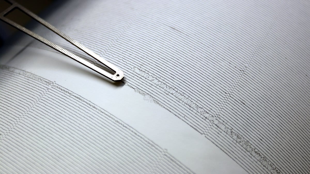
Close-up of a seismograph stylus arm resting on a paper drum record covered in closely spaced wavy ink lines.
The stylus traces a steady line until a wave reaches the instrument, and fixing that first moment of movement is the measurement itself (illustrative)."Seismogram on historical seismometer at Institute of Geophysis of the Czech Academy of Science (14)" by Petr Brož (Czech Academy of Science), via wikimedia, CC-BY-SA-4.0

A magnitude 4.9 earthquake was recorded by the U.S. Geological Survey (USGS) at 11:57 UTC on Oct. 16, 2026. The agency placed the epicenter in open water, 119 kilometers southwest of Merizo Village, Guam, at a depth of 10 kilometers.

The epicenter was in open water well south of Guam, with no village close enough to be directly affected.

Sources

Spot an error?

Spot an error?

Report an error

Spotted a mistake on this page? Tell us what's wrong and our editors will take a look.

What kind of problem?

Only if you'd like us to be able to follow up. We won't use it for anything else.

We correct mistakes openly. Select any text to flag it. Fixes are logged under our Corrections Policy.

Report an error

Reporting on

M4.9 Earthquake Strikes off Guam

What kind of problem?

Only if you'd like us to be able to follow up. We won't use it for anything else.

We read every report. Corrections are logged publicly.