NASA and ISRO's Radar Satellite Kept Watch on a Volcano Ground Sensors Rarely Reach
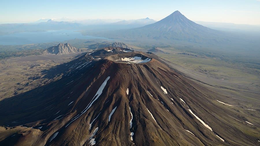
NASA published a radar time-lapse on Sept. 24 showing lava spreading from the northern crater of Krasheninnikov, a pair of volcanoes on Russia's Kamchatka Peninsula. The 17 frames came from the NASA-ISRO Synthetic Aperture Radar satellite, or NISAR, and cover Dec. 25, 2025 through mid-August 2026. Over that period the satellite returned to the same spot twice every 12 days, once passing south to north and again north to south.
NASA says the sequence shows how NISAR's observations can track a natural hazard as it develops, for research and potentially for emergency response. Krasheninnikov began erupting in August 2025. Many of Kamchatka's volcanoes erupt often enough to be watched closely by ground instruments; this one was not, and the first NISAR image of it was taken while the satellite was still finishing its post-launch checks.
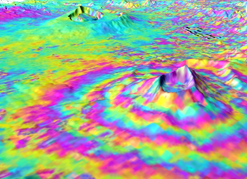
Each pixel in the frames covers about 30 feet on a side, roughly half a tennis court, according to the release. NISAR carries two radar instruments that work at different wavelengths, one built by NASA's Jet Propulsion Laboratory and the other by ISRO, India's space agency. The longer-wavelength instrument can pass through tree canopies and image the ground beneath. The mission covers roughly 1,300 active volcanoes above sea level worldwide.
"The consistency is crucial. Twice every 12 days, acquiring in this high-resolution mode and in two observation directions, this shows the promise of NISAR to closely monitor natural hazards," said Matthew Pritchard, a member of the NISAR science team and a geophysicist at Cornell University who analyzed the data used to create the animation. "We're seeing volcanoes around the world that we've never really had eyes on like this before," he said.
NASA says data products from the mission's longer-wavelength radar are available through the Alaska Satellite Facility archive in Fairbanks, Alaska, which distributes all of the agency's synthetic aperture radar data.