Hurricane Trudy Prompts Hurricane Watch, Tropical Storm Warning in Mexico
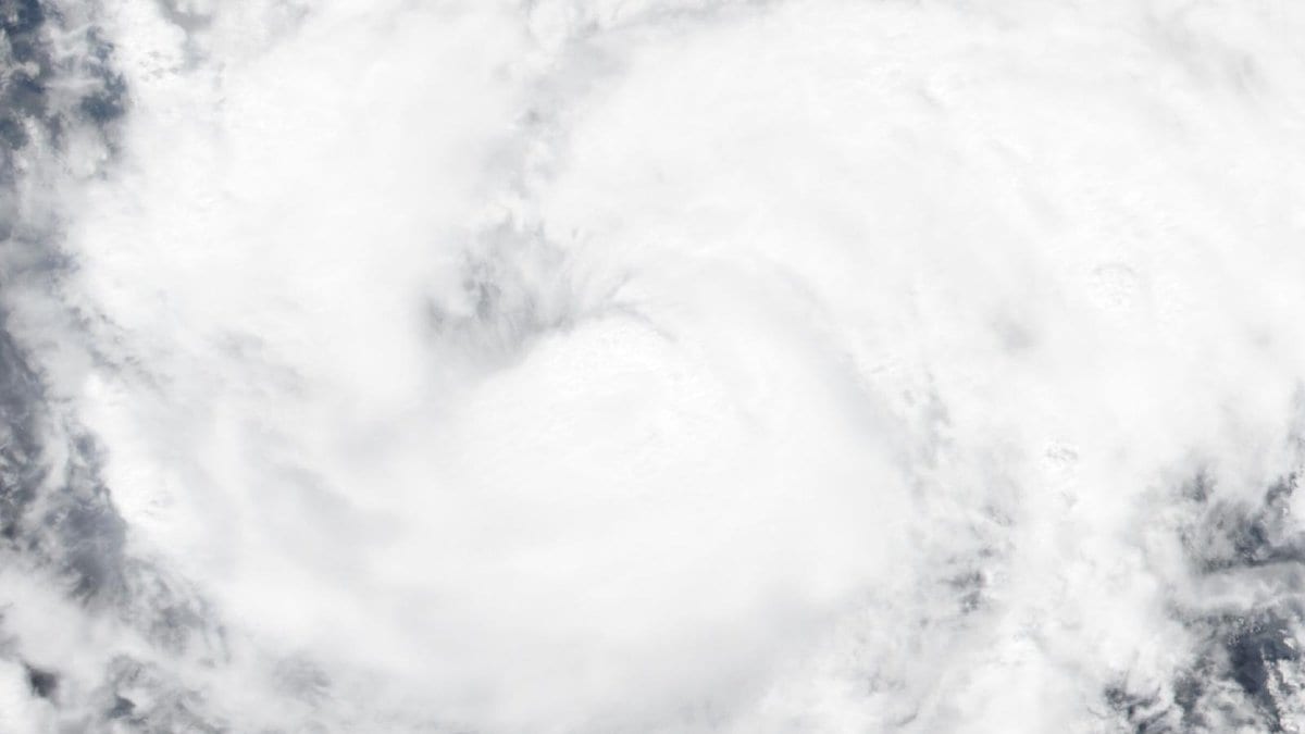
Mexico's government issued the first hurricane watch and tropical storm warning of Hurricane Trudy's life on Thursday, Oct. 15, 2026. The storm's sustained winds had reached 90 mph (150 km/h) over the eastern Pacific, the U.S. National Hurricane Center (NHC) said in Advisory Number 10, issued at 3 p.m. CST (2100 UTC). The Hurricane Watch covers the Mexican coast north of Punta San Telmo to Playa Perula; the Tropical Storm Warning covers the coast from Punta San Telmo south to Zihuatanejo, spanning the states of Michoacán, Colima, Jalisco and Guerrero.
Trudy's central pressure was 978 millibars, and the storm was moving north-northwest at 6 mph (9 km/h). Rapid intensification was forecast to resume Thursday night, Oct. 15, 2026, with Trudy expected to become a major hurricane by Friday, Oct. 16, 2026, or Friday night.
The advisory forecast 4 to 8 inches of rain through the weekend along the southwestern Mexican coast in Michoacán, Colima and Jalisco, with isolated totals as high as 12 inches. The rain, the agency said, could cause life-threatening flooding and mudslides, especially on steep terrain. Coastal flooding from storm surge was possible in areas of onshore wind, with large, destructive waves expected near the coast. Swells from Trudy were expected to reach southwestern Mexico's coast within a day and continue through the weekend, bringing life-threatening surf and rip currents.
Trudy's formation off southern Mexico's Pacific coast on Oct. 13, 2026, had already led forecasters to predict the storm would strengthen into a major hurricane. That intensification had not yet occurred as of Thursday, Oct. 15, 2026, and Trudy remained a Category 1 hurricane.