Hurricane Trudy Strengthens to Category 3, Mexico Widens Hurricane Watch
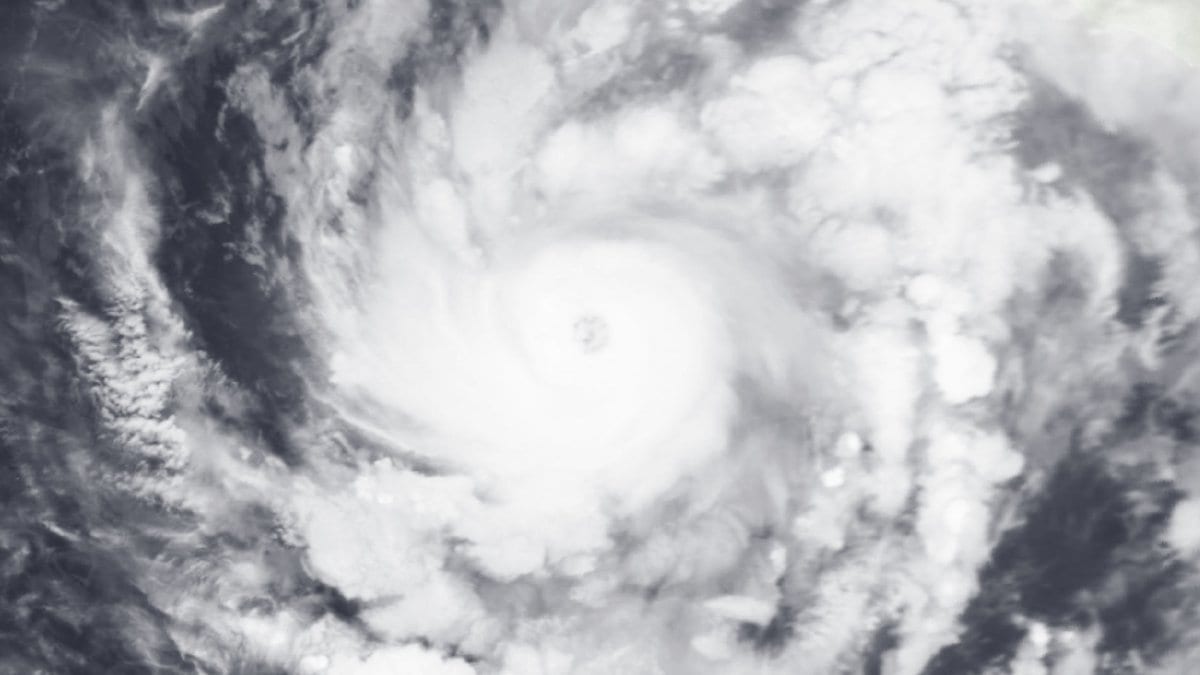
Hurricane Trudy rapidly intensified into a Category 3 major hurricane early Friday, Oct. 16, 2026, and Mexico's Hurricane Watch for the storm now runs north of Punta San Telmo to Cabo Corrientes, the National Hurricane Center said in its 12:00 a.m. CST advisory (0600 UTC). The storm's center was about 260 miles (420 kilometers) southwest of Acapulco, Mexico, with maximum sustained winds of 120 mph (195 km/h) and a minimum central pressure of 957 millibars.
A Tropical Storm Warning remains in effect along the coast from Punta San Telmo south to Zihuatanejo, unchanged from the agency's previous advisory. Trudy was moving northwest at 6 mph (9 km/h), and the agency said additional strengthening is likely during the next day or two.
Rainfall of 4 to 8 inches, with isolated totals near 12 inches, is expected through the weekend along the coast of southwestern Mexico in Michoacan, Colima and Jalisco. The National Hurricane Center said the rain may produce life-threatening flooding and mudslides in areas of steep terrain. Storm surge and large, destructive waves are possible near the coast, and swells from Trudy are forecast to bring life-threatening surf and rip currents to southwestern and west-central Mexico over the next few days.
The Hurricane Watch covered a shorter stretch of coast, from Punta San Telmo to Playa Perula, when the agency's previous advisory put Trudy's top winds at 90 mph (150 km/h). Mexico's first hurricane watch and tropical storm warning for Trudy came on Oct. 15, 2026.
On the forecast track, the agency said Trudy's center is expected to approach the coast of southwestern and west-central Mexico on Saturday, Oct. 17, 2026, and Saturday night, Oct. 17, 2026.