A New Index Shows When, Not Just Where, West Africa's Coast Is Most at Risk
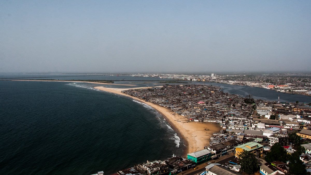
A coastal vulnerability index that changes through the year, rather than holding one fixed value, rose 7.6% along the coasts of West and Central Africa between 1993 and 2020, a research team reports. It links most of the rise to higher sea level.
The study appeared Nov. 16, 2026, in Communications Sustainability. The authors argue that indices of this kind, which normally give one score per stretch of coast, cannot say when that coast is most exposed, which is what flood planning needs. The coast here runs from Mauritania to Gabon, and earlier surveys the authors cite put nearly a third of the region's people on it.
Olusegun A. Dada of the Federal University of Technology, Akure, in Nigeria, led the work with Rafael Almar of the LEGOS laboratory in Toulouse. The index is a composite rather than a measurement. Six physical ingredients go into it: shoreline type, its slope, how fast the shoreline has moved, sea-level anomalies, wave energy and tides. Two social ones go in beside them: population density and how built up the land is. The team scored 257 points along the coast month by month, so the rise is a shift in a score, not a count of people or land lost.
The authors report that sea-level anomalies rose by more than 40% over the period, while tides and wave energy barely changed; the social side of the index rose faster than the physical side. Within a year, the index peaks in the rainy season, from June to November. It also swings year to year with two Atlantic climate patterns, the Atlantic Meridional Mode and the North Atlantic Oscillation.
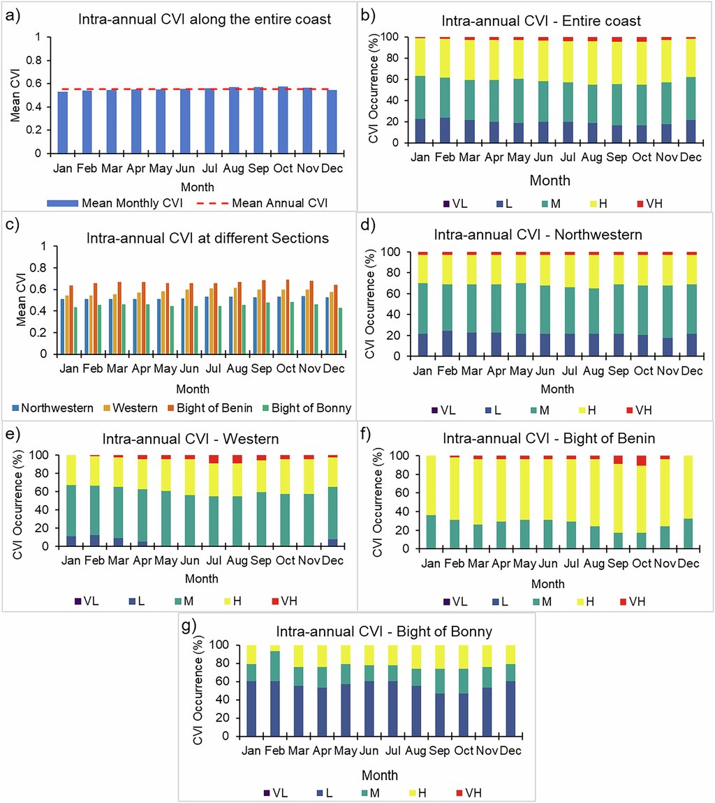
The team also checked the index against floods, displacement and infrastructure damage reported in news coverage, which cluster in the months it flags. Those records put the most displacement in the Bight of Benin, from western Ghana to the Niger Delta. The authors call that check indicative, not predictive: the impact records are sparse and uneven.
The scored points skip estuaries and fast-changing deltas, where the team says the shoreline cannot be tracked reliably over time.
Sources
- Communications SustainabilityPeer-reviewed