Alabama's Dauphin Island Is Losing 5.4 Meters of Shore a Year, Satellites Show
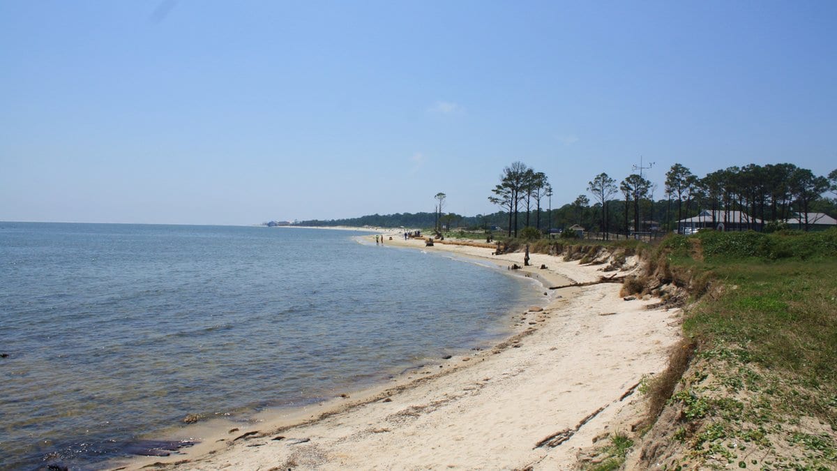
A study published Nov. 15, 2026, in Scientific Reports puts the retreat of Dauphin Island's shoreline at 5.4 meters a year. That is the fastest erosion rate it found anywhere around Mobile Bay, Alabama, over the past 25 years.
Fatema Tuz Johra Nourin, Wanyun Shao and two colleagues at the University of Alabama state in the paper that knowing where a shoreline has sat and where it sits now is essential for managing coastal hazards. They add that their results support coastal management, hazard mitigation and nature-based solutions at specific sites.
The team used CoastSat, an open-source Python toolkit that picks shoreline positions out of satellite imagery held on Google Earth Engine, to track the bay's edge from 2000 through 2024. Change rates along 396 lines drawn across the shore were then put through a measure of persistence called the Hurst exponent, which separates steady movement in one direction from back-and-forth shifting.
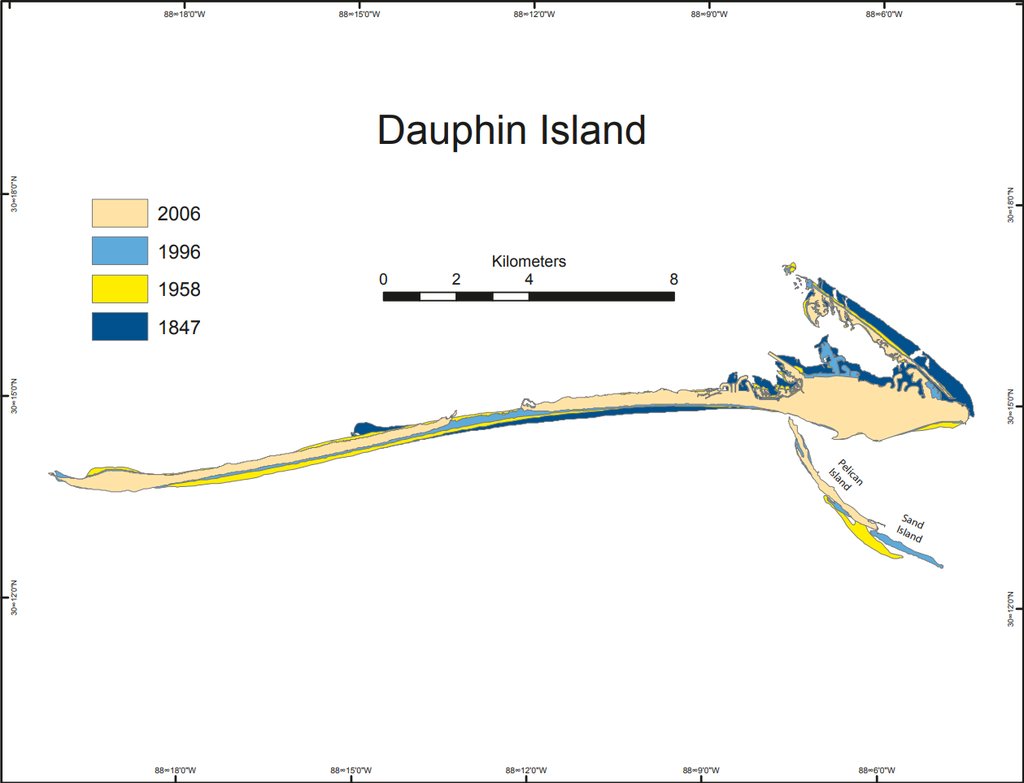
The authors report that Dauphin Island also showed the largest differences between its northern and southern shores and the strongest response to major hurricanes, while the more sheltered estuary shorelines toward the river delta moved less and varied over shorter stretches.
Pairing that measure of persistence with ordinary erosion rates let the group sort the bay's shore into stretches that lose land steadily, stretches that gain it steadily, and stretches that swing between the two.
Scientific Reports released the accepted version early and says the text may be edited again before the final version appears. The article is free to read, and the work was funded through a U.S. Department of the Treasury project and a NOAA cooperative agreement with the University of Alabama.
Sources
- Scientific ReportsPeer-reviewed