Copernicus Sentinel-6B Enters Service, Extending a 30-Year Sea-Level Record
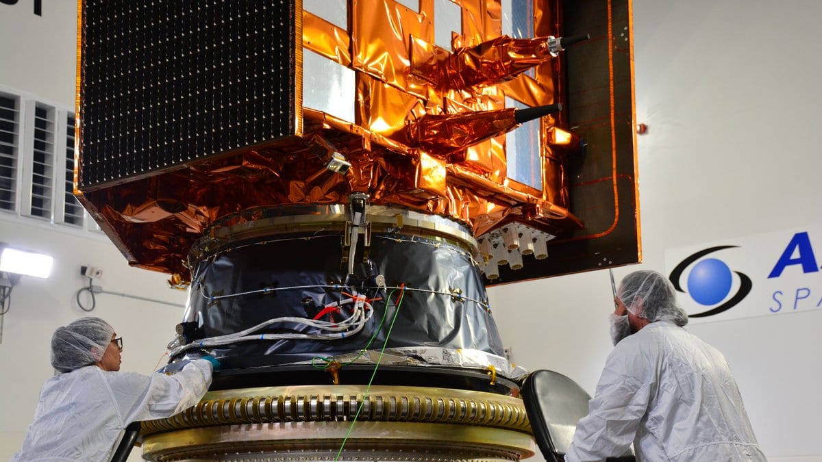
Copernicus Sentinel-6B entered operational service on Oct. 30, 2026, and the satellite record of global sea level that began in 1992 now runs through it. EUMETSAT, which operates the satellite for the European Commission, says its radar measurements of sea-surface height are already reaching weather and ocean forecasters.
The agency says the data reach the models of national weather services within about three hours of collection. Forecasters use them for rough seas during Atlantic winter storms and Mediterranean cyclones, and to judge how strong hurricanes will become. The longer record also feeds seasonal forecasts, including predictions of El Niño and La Niña.
EUMETSAT reports that global average sea level has risen by more than 11.5 centimeters since December 1992. The agency says the pace is increasing: 2.8 centimeters in the record's first decade, and as much as 4.0 centimeters in the most recent one. It attributes the rise to melting glaciers and ice sheets together with ocean warming, which makes seawater expand.
The record began with TOPEX/Poseidon and continued through the Jason satellites, a long-standing collaboration between European and United States partners. With its twin, Sentinel-6 Michael Freilich, Sentinel-6B measures up to 95% of the ice-free ocean. The two have flown in tandem since December 2025 so that the new satellite could be calibrated against the one already carrying the record.
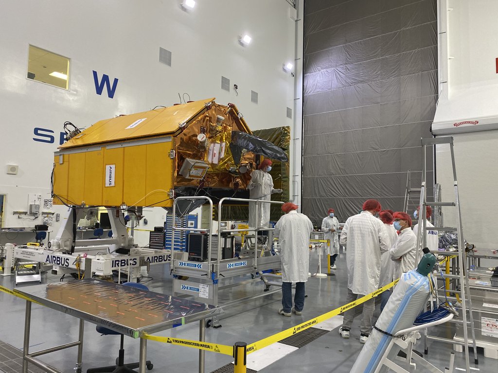
"No other technology can follow changes in sea level across the whole globe as consistently as satellite altimetry, and its data are essential for both climate research and policy and weather and ocean forecasting," Phil Evans, Director-General of EUMETSAT, said in the announcement. He put the number of people living in low-lying coastal areas worldwide at around 900 million.
EUMETSAT says Sentinel-6B is expected to become the internationally agreed reference in the coming months, the benchmark against which other sea-level missions are calibrated. Sentinel-6 Michael Freilich will then move to a new orbit, ending the tandem flight.