Skip to content
See the World Through ScienceA project of ALLATRA
Source: Peer-reviewedCommunications Earth & Environment1 source

San Francisco's Treasure Island Is Sinking, but Rising Seas Will Soon Matter More
Environment

Republish this story

Our work is licensed under Creative Commons BY-NC 4.0. You may republish this piece for free — with credit to ALLATRA Media and a link to the original, unedited beyond length trims, and not for commercial use.

Read the full license

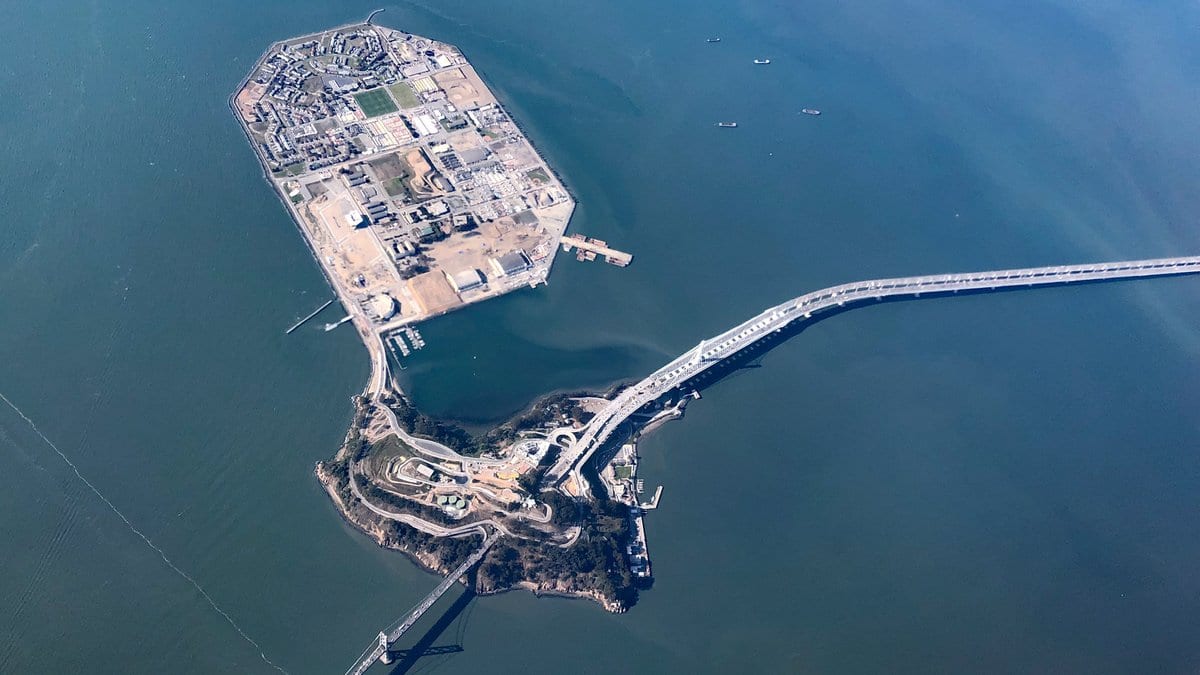
Near-vertical aerial view of a flat, polygonal man-made island in San Francisco Bay, joined to a smaller hilly natural island where the Bay Bridge crosses.
Seen from the air over San Francisco Bay, the flat landmass at top stands on fill dredged from the bay floor; the hill below it is natural ground. Photographed April 26, 2022."Yerba Buena Island and Treasure Island" by Ian E. Abbott, via Flickr, CC BY-NC-SA 2.0, cropped

Treasure Island, a century-old artificial island in San Francisco Bay, is sinking at 5 to 11 millimeters a year, and its northwest corner is sliding sideways at up to 6 millimeters a year. Guoqiang Shi of The Hong Kong Polytechnic University and colleagues report the measurements in Communications Earth & Environment, published Nov. 12, 2026.

The authors project that sea-level rise will overtake the sinking ground as the main contributor to the island's flood exposure by 2030, and that under high greenhouse-gas emissions the island faces significant risk of flooding inland by 2050. Both dates come from models, not from measurements.

The study combines historical records, decades of satellite radar measurements of ground movement, three-dimensional modeling of how the ground deforms, and projections made with deep learning. It traces the sinking and the sideways movement to a foundation that is compressible and uneven.
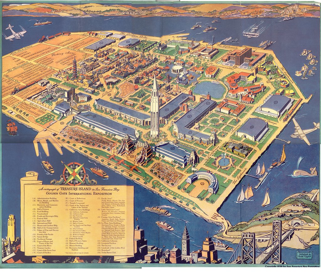
A 1939 color bird's-eye map of the Golden Gate International Exposition laid out across Treasure Island, with a numbered legend and the Bay Bridge at lower right.
A bird's-eye plan of the 1939 Golden Gate International Exposition, the fair the bay fill was built to host (illustrative). "High-resolution Treasure Island World's Fair Map" by TunnelBug, via Flickr, CC BY-NC 2.0, resized

The authors describe the island as a test case for aging land built out into the sea, point to acute problems for the redevelopment already planned there, and offer their approach as transferable to other reclaimed coasts with similar ground and climate.

The paper is open access. Communications Earth & Environment has posted it as an accelerated preview, a peer-reviewed version that carries a permanent DOI and will be replaced by a final version of record. The National Natural Science Foundation of China, the Research Grants Council of Hong Kong and the Otto Poon Research Institute for Climate-Resilient Infrastructure funded the work.

Sources

Spot an error?

Spot an error?

Report an error

Spotted a mistake on this page? Tell us what's wrong and our editors will take a look.

What kind of problem?

Only if you'd like us to be able to follow up. We won't use it for anything else.

We correct mistakes openly. Select any text to flag it. Fixes are logged under our Corrections Policy.

Report an error

Reporting on

San Francisco's Treasure Island Is Sinking, but Rising Seas Will Soon Matter More

What kind of problem?

Only if you'd like us to be able to follow up. We won't use it for anything else.

We read every report. Corrections are logged publicly.