Cyclones Reach About 40% Higher Intensity Where Sea Temperatures Are Most Even
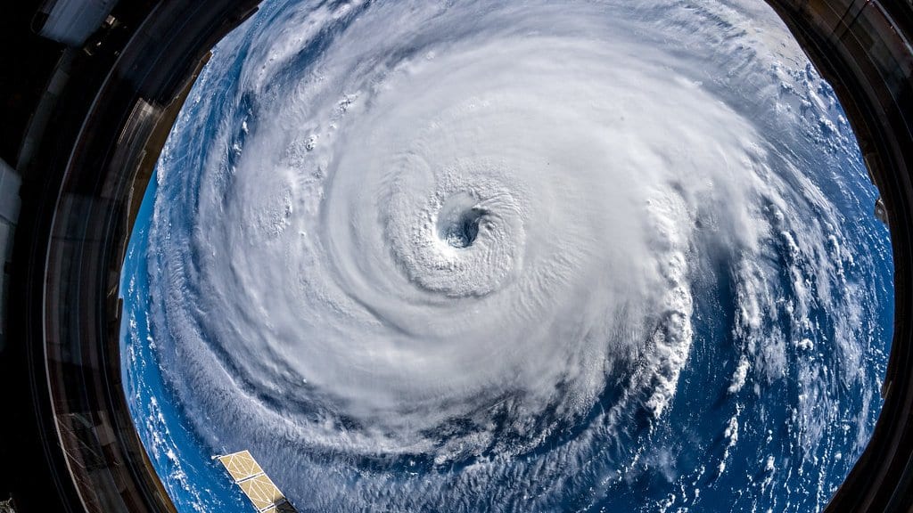
Tropical cyclones that cross oceans where the sea surface temperature varies little from kilometer to kilometer reach about 40% higher intensity than storms crossing water with sharp temperature contrasts, according to a study published Aug. 31 in the Proceedings of the National Academy of Sciences.
A cyclone cools the water beneath it as it travels, which limits the heat it can draw on. Hanrui Liu and colleagues at the Ocean University of China, with co-authors at Fudan University, Xiamen University and Laoshan Laboratory, write that weak pre-storm temperature gradients substantially suppress that self-cooling, while strong ones increase it where the wind blows along the temperature front.
About 70% of rapidly intensifying intense cyclones occurred over weak gradients, and about 60% of intense cyclones that reached land had encountered below-average gradients in the days beforehand. The percentages are associations aggregated from global satellite and storm-track records, not the result of a controlled test.
These gradients are also fading. The study documents a decline of about 10% per decade across all cyclone-active regions since 1993, a trend that should favor stronger storms.
Liu and colleagues argue that a weak pre-storm gradient could work as an early warning for intense cyclones, and that resolving these small-scale patterns is "essential" in operational forecasting systems and in climate models used to project cyclone activity.
Gradients this fine appear in recent high-resolution satellite imagery of cyclone-active waters, but whether they affected storms at all, had not been established until now. The study is scheduled for the journal's Sept. 8 print issue.
Sources
- Proceedings of the National Academy of SciencesPeer-reviewed