Rainfall Extremes in the French Alps Are Splitting North From South
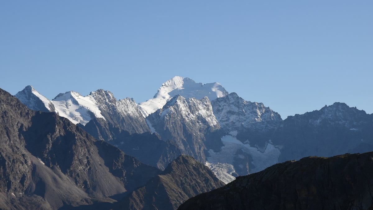
Extreme daily rainfall in the French Alps has grown heavier in the south and lighter in the north, according to an analysis of long station records published Oct. 21, 2026, in Hydrology and Earth System Sciences. The two halves of the same mountain range are moving in opposite directions.
Sebastian Berghald and Juliette Blanchet of Université Grenoble Alpes and CNRS, with two co-authors, write that local stakeholders had reported a rise in short, intense downpours, but the increase had not been confirmed statistically from observations. Their study supplies that check, and the answer differs by region and by timescale.
The team defined an extreme as a 20-year return level, a rainfall total that heavy is expected about once every two decades. Using 67 gauges whose records run as far back as 1952, the authors report that annual daily extremes in the southern Alps rose by up to 50% between 1990 and 2020, while those in the north fell by as much as 20% over the same span. They attribute the southern increase to a stronger flow of Mediterranean air in autumn, and say the northern decrease may follow changes in Atlantic flow patterns.
Hourly extremes behave differently again. The paper reports patchier trends at that timescale, with increases concentrated in the high ranges of the northeast and in June and November. The authors suggest those are driven mainly by local conditions: how much moisture is available, and how long snow now stays on the ground. They write that the hourly increases match what local observers had described.
The authors also report that rainfall extremes in the region do not generally rise in step with temperature, as the extra moisture a warmer atmosphere can hold would suggest. They say that makes future changes there harder to project.
The Météo-France gauge records behind the study are public. The longer series came from the utility EDF, which supplied them for this project but does not publish them. The paper is open access under a Creative Commons Attribution license and was funded by France's National Research Agency.
Sources
- Hydrology and Earth System SciencesPeer-reviewed