A Climate Satellite's Laser Helped Forecasters Pin the Height of Krakatau's Ash Plume
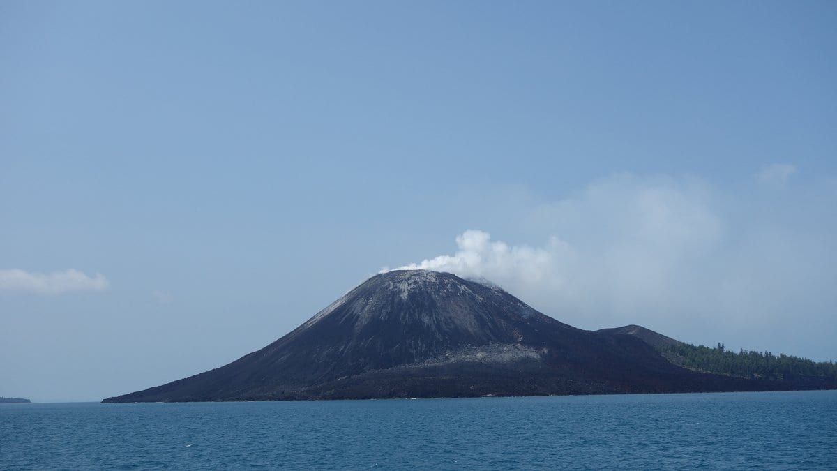
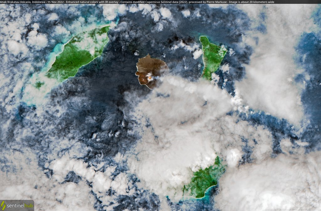
Forecasters at the Darwin Volcanic Ash Advisory Centre used laser measurements from Europe's EarthCARE satellite to verify how high the ash plume from Anak Krakatau was reaching, the European Space Agency announced on Oct. 1.
EarthCARE was built to measure clouds and aerosols and how they shape Earth's energy balance. ESA's release says the Darwin center, operated by the Australian Bureau of Meteorology, added readings from the satellite's laser instrument, ATLID, to its suite of satellite monitoring tools after Anak Krakatau began erupting Sept. 4 and thousands of flights were grounded.
ATLID fires ultraviolet laser pulses at Earth and measures the light that scatters back, mapping the altitude and concentration of aerosol layers. Andy Prata of the Bureau of Meteorology explained, "Together with the VAAC forecasters, we were able to verify the forecast guidance of the westward moving plume at FL500, which is at the altitude of around 15 km." He added, "ATLID was crucial to help forecasters verify the altitude of the upper-level component of the plume."
EarthCARE's cloud profiling radar recorded something unexpected. Robin Hogan of the European Centre for Medium-Range Weather Forecasts noted that the radar is far more sensitive to large particles than the laser, and that "Normally we would expect the particles in a volcanic plume 200 kilometers from the source to be too small to be detected by a radar." According to ESA, the radar nonetheless picked up a feature reaching from the surface to about 6 kilometers. Hogan said that feature is "believed to correspond to larger ash aggregates that are settling out of the plume."
Helen Dacre of the University of Reading noted, "If confirmed, this would provide useful evidence that large ash particles can remain aloft for longer and travel farther than is often assumed." ESA's account says that what is in that part of the profile remains speculative and requires further study.
This is not the first eruption EarthCARE's laser has profiled: its data contributed to work on how aerosols from the 2024 eruption of Mount Ruang, also in Indonesia, spread through the stratosphere.