Even Senior Geologists Miss Active Faults, and Experience Barely Helps

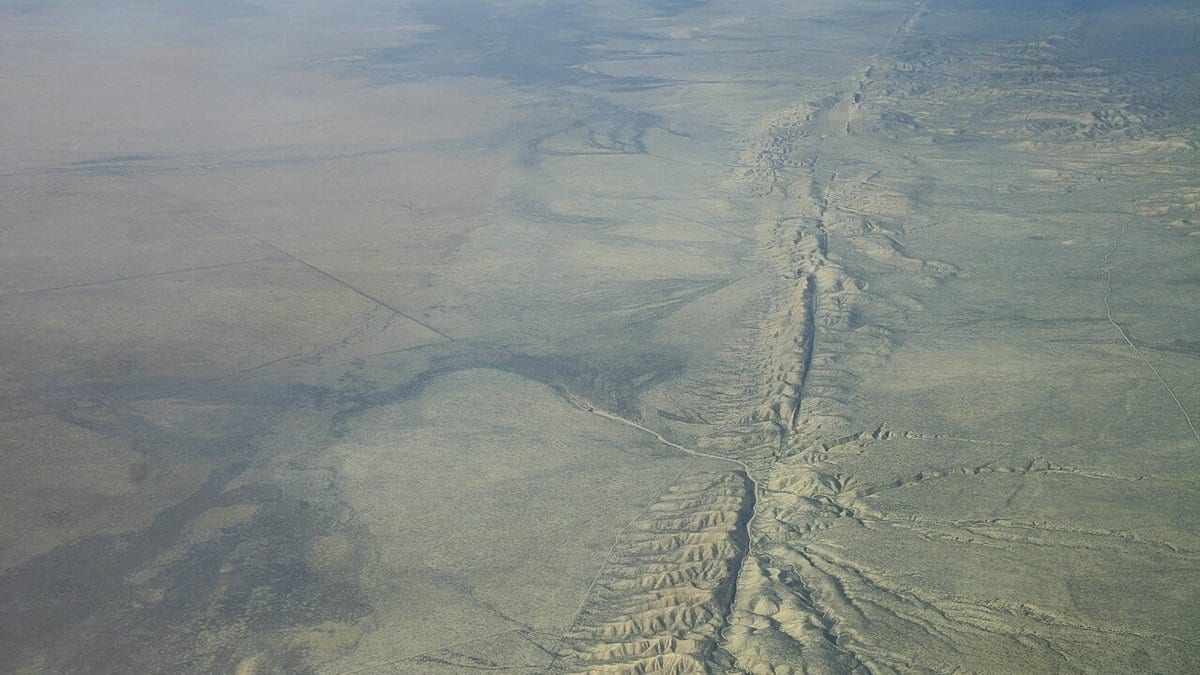
Give the same aerial imagery to two dozen geologists, ask them all to trace the active faults, and you might expect the answers to converge, especially the ones from decades-hardened professionals. They do not converge as much as you would hope, and the reason has less to do with skill than with the stubborn ambiguity of the ground itself.
That is the finding of a controlled mapping experiment published 14 July 2026 in the open-access journal Seismica, led by Malinda Zuckerman of Arizona State University with a large team of co-authors drawn from universities, geological surveys, utilities, and consulting firms. Twenty-three participants (spanning undergraduate students, graduate students, and senior professionals) were each handed the same pre-earthquake remote-sensing data for the same terrain and asked to map its potentially active faults using a shared, systematic, geomorphology-based method. Because everyone worked the identical dataset with the identical protocol, the differences between their maps isolate something usually hidden: how much two competent humans can disagree about where a fault actually is.
They disagree by a wide margin. The team quantified the inter-mapper epistemic uncertainty in fault location at 55 to 117 metres. That is the spread between where different mappers placed the same fault: not measurement noise, but genuine, defensible disagreement about interpretation. In hazard terms, a building sited confidently "off" a mapped fault could sit well inside that band of uncertainty.
The more provocative result concerns experience. Conventional wisdom holds that a veteran field geologist will out-map a student every time. Here, the advantage was slight. Professionals only modestly outperformed students, and some graduate students produced maps of comparable quality to the professionals'. Skill appears to plateau early: beyond a certain point, more years in the field bought little additional accuracy on this task. And the shortfall was universal: every single participant, at every level, missed tectonic landforms that mark where future ruptures are likely to break.
The implication is straightforward. If disagreement between skilled mappers is an inherent property of the data rather than a failing to be trained out, then the answer is not "hire more senior people" but "measure the disagreement and carry it forward." A hazard analysis that treats a single mapped fault line as ground truth is quietly overconfident. One that draws a 55-to-117-metre band of uncertainty around that line (and assumes some real faults were missed entirely, as they were here) is being honest about what the map can and cannot tell you.
The work also sits alongside a companion Seismica study from the same Arizona State group, published the same day, on how desert erosion erases earthquake scars over thousands of years. Read together, the two papers describe uncertainty entering the record from both ends: the landscape slowly deletes the evidence, and the humans who interpret what remains cannot fully agree on it.
The maps that guide where we build, and how we brace, are drawn by people doing careful work with imperfect clues. Knowing how much those careful people can disagree is not a mark against them. It is one more input the hazard maps should carry, out in the open, rather than a source of error hiding in plain sight.
Sources
- SeismicaPeer-reviewed