East Asia's Worst Downpours Are Intensifying About Three Times Faster Than the Rest

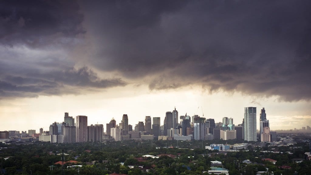
Averages are reassuring, and that is exactly the problem. When people talk about rain getting heavier in a warming world, the mental image is usually a whole distribution nudging up a notch: everything a little wetter than before. A new analysis of a quarter-century of East Asian summer storms says that picture is wrong in a way that matters most for the events you least want to get wrong: the extremes.
Tian Ding of the China Meteorological Administration's Guangzhou Institute of Tropical and Marine Meteorology, with Tianjun Zhou, Guo Zhun and Qian Zou of the Institute of Atmospheric Physics at the Chinese Academy of Sciences, examined precipitation from mesoscale convective systems over the years 2000 to 2024. Those systems (sprawling, organized clusters of thunderstorms) are the workhorses of summer rainfall across much of East Asia, and the deluges behind many of the region's floods.
Their central result is a ratio. Precipitation from the most extreme of these storms is strengthening roughly three times faster than precipitation from moderate ones. The worst are pulling away from the middle, not marching in step with it.
To see why, the researchers took apart the rainfall distribution itself. A distribution has a body, where the ordinary events cluster, and a tail, where the rare, violent ones live. The team split the intensification into a piece driven by the whole curve shifting and a piece driven by the tail stretching outward. The tail term dominated: it accounted for about 75% of the extreme intensification. In statistical terms, the shape of the distribution is changing (a declining shape parameter paired with a rising scale parameter), which is a technical way of saying the right-hand tail is being pulled longer. The rare events are becoming both more likely and more severe, faster than the arithmetic of a simple warming trend would predict.
The two pieces even trace to different causes. The gradual lift of the whole distribution links mostly to moisture: concurrent moisture transport, low-level humidity, and the slow ocean rhythm known as the Atlantic Multidecadal Oscillation. The stretching of the tail links instead to the storms' own internal machinery and to thermodynamic factors: the physics of how an individual system wrings water out of the air once it gets going. The average and the extreme, in other words, are being driven by partly separate levers.
That distinction is where the practical stakes sit. Flood infrastructure (the culverts, storm drains, levees and channels that a city sizes for a "hundred-year" storm) is built on the assumption that the past is a reliable guide to the future. If the tail of the distribution is stretching faster than the body, then the rare design-storm a system was built to survive is arriving both more often and harder than the historical record implies, even in places where the average rainfall looks only modestly changed. Extrapolating from the mean would systematically undersize the defenses.
This is a single study of a single, if enormous, region, peer-reviewed and published in Environmental Research Letters. While the finding represents a strong regional signal, the statistical decomposition of the tail-stretching carries its own uncertainty and has not yet been independently replicated. The result is a strong signal that deserves a careful read, not a settled conclusion.
What it sharpens is a warning that the averages tend to hide. In a region where hundreds of millions live under the summer monsoon, the events that break records and overwhelm drains are, on this evidence, precisely the ones outrunning the trend.
Sources
- Environmental Research LettersPeer-reviewed