A Tanzanian Volcano Rose Without Erupting. Researchers Now Say What Lifted It
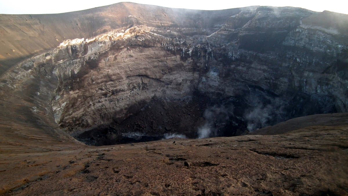
Ol Doinyo Lengai, an active volcano in northern Tanzania, swelled without erupting between March 2022 and August 2023, and a team led by D. Sarah Stamps of Virginia Tech reports that the best explanation is magma pushing into a thin, flat body of rock beneath the summit. The analysis appeared on September 18, in Frontiers in Earth Science.
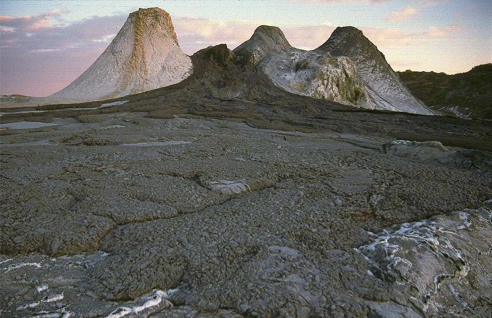
The authors describe the modeling as a way to follow what the volcano's magma system does between eruptions, which they say should sharpen hazard assessment at the volcano. No eruption followed this episode, and the paper treats it as one possible recharge in a longer cycle.
The ground rose an average of about 4 millimeters, as tracked by satellite-navigation receivers that Virginia Tech and Ardhi University in Dar es Salaam operate on the volcano, and the paper notes that this is too faint for radar satellites to pick out. Stamps and colleagues ran those displacements through dMODELS, deformation software released by the U.S. Geological Survey. They compared four possible shapes for the buried source, among them a sphere and an opening crack. The best fit was a sill, a flat lens of magma wedged between layers of rock.
By that model the sill sits about 3.1 kilometers below the summit, though the data pin the depth only to within 2.2 kilometers. The volume change works out to 0.99 million cubic meters of magma, give or take 0.22 million.
The swelling itself was already on the record. Ntambila Daud of Ardhi University and colleagues found it in the same network's measurements and reported it in 2024. What this paper adds is the source. The authors set that result beside radar measurements reported by Wauthier and Ho, which found the summit sinking steadily over the decade to 2023. Together, they say, the two point to a connected system in which magma leaving the shallowest level may be balanced by magma arriving deeper down.
The displacement data and the model files are posted in a public Zenodo repository.