Typhoon Champi Reaches Guam, Triggering Extreme Wind Warning
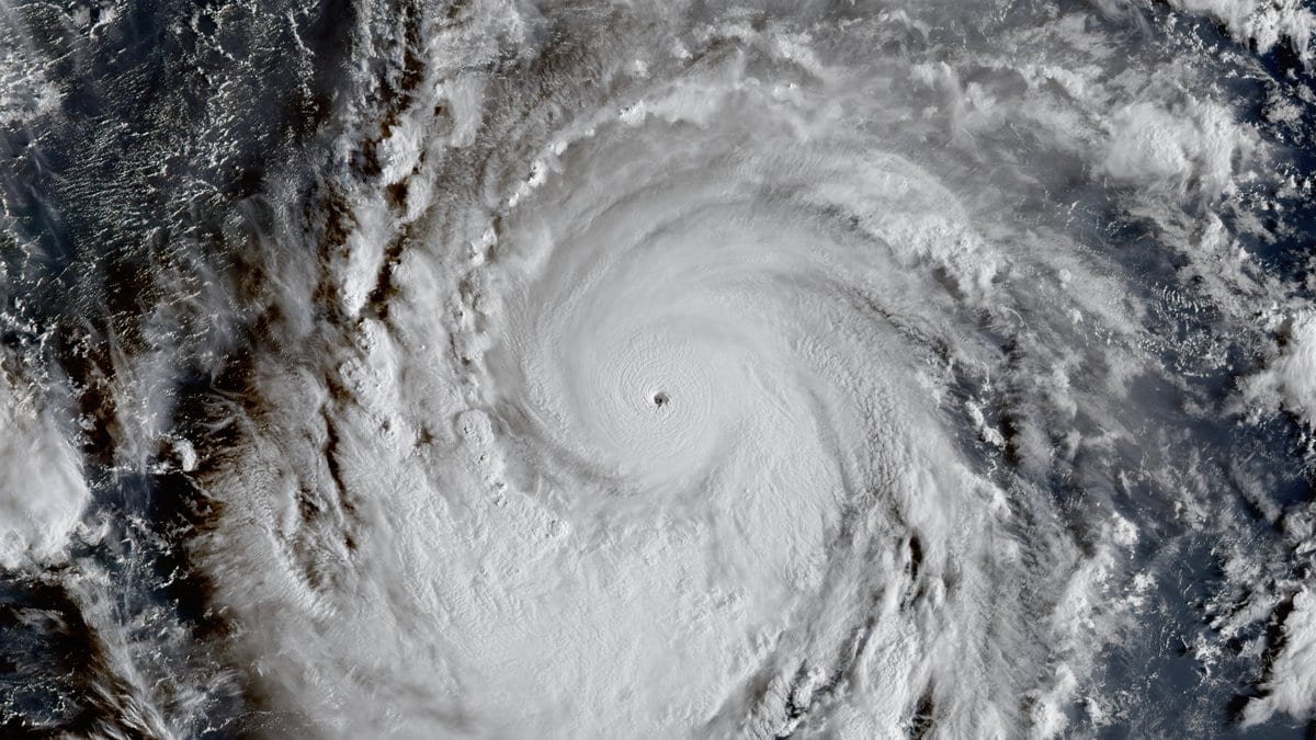
The northern edge of Typhoon Champi's eyewall moved onshore over Guam's far southern tip early Oct. 18, 2026, local time (Oct. 17, 2026, UTC), and the National Weather Service's Tiyan, Guam, office issued an Extreme Wind Warning as radar detected winds of 115 to 135 mph crossing the island's south. A Typhoon Warning remained in force for Guam and Rota, with a Tropical Storm Warning and Typhoon Watch continuing for Tinian and Saipan in the Northern Mariana Islands. Champi, a Category 4 storm with sustained winds of 140 mph, was centered about 55 miles southeast of Guam and moving west at 14 mph, the office said.
The Extreme Wind Warning ran from 3:26 a.m. to 5:30 a.m. ChST, as Andersen Air Force Base's Doppler radar tracked the typhoon's northern eyewall moving onshore from Talofofo southward at 15 mph. It covered five villages in southern Guam, including Talofofo, where the office said winds of 115 to 135 mph would bring swaths of significant to catastrophic damage, particularly to non-concrete structures, and urged residents to take cover immediately.
The Typhoon Warning for Guam and Rota remained in force as of the latest advisory, due to expire at 12:45 p.m. ChST Oct. 18, 2026. A Coastal Flood Warning and High Surf Warning covered Guam, Rota, Tinian and Saipan through 4 a.m. ChST Oct. 19, 2026, with the office forecasting waves as high as 30 feet off Guam, 20 to 25 feet off Rota and 15 to 20 feet off Tinian and Saipan. A Flood Advisory for urban and small-stream flooding from heavy rain was also in force for Guam.