Hurricane Trudy Strengthens Again to Category 2, Mexico Updates Storm Warnings
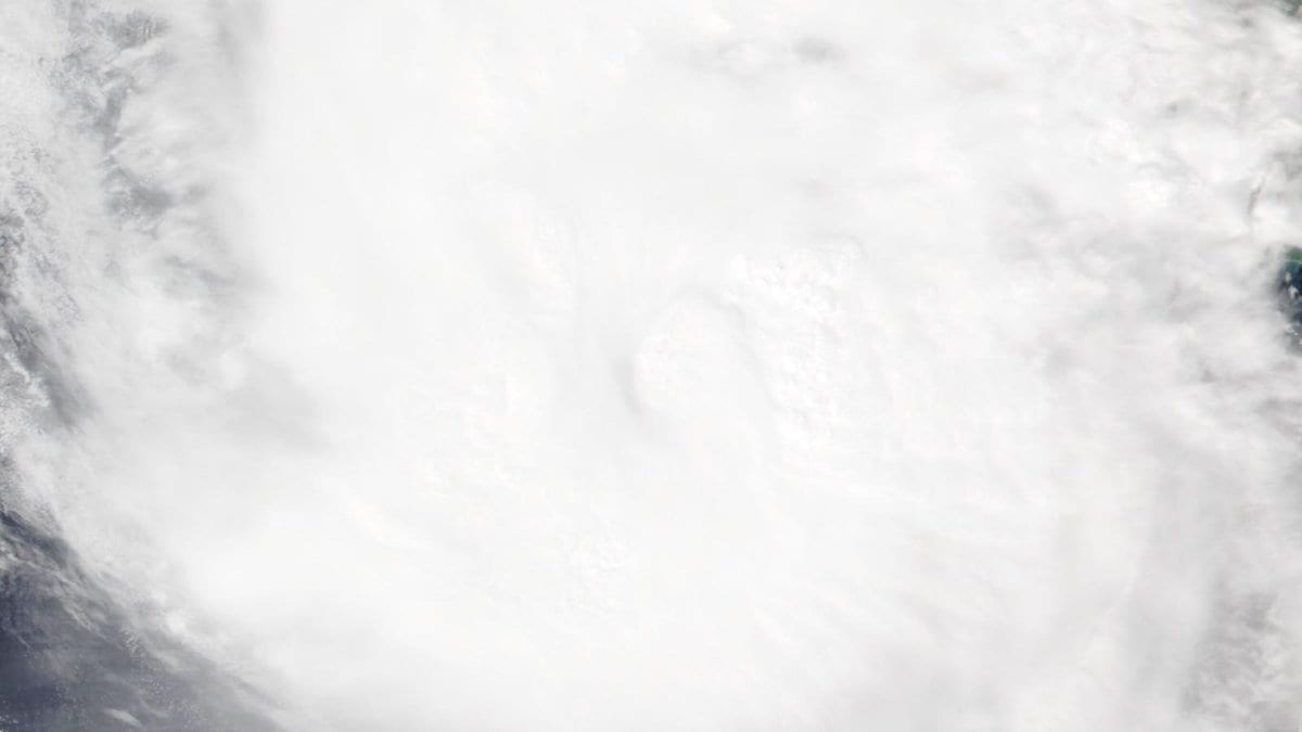
Hurricane Trudy re-intensified to Category 2 strength Saturday, Oct. 17, 2026, with maximum sustained winds near 100 mph, the National Hurricane Center said in its 6 p.m. CST intermediate advisory. The storm was centered about 100 miles southwest of Manzanillo, Mexico, moving northwest at 10 mph toward the coast.
The storm was forecast to pass near the coast of southwestern and west-central Mexico tonight and Sunday, Oct. 18, 2026, with a minimum central pressure of 976 millibars. Some additional strengthening was possible overnight into Sunday, Oct. 18, 2026, and weakening was expected to begin late that day or Sunday night.
Mexico's government issued a new Tropical Storm Warning for Las Islas Marias and discontinued the Tropical Storm Warning for the coast south of Lázaro Cárdenas. A Hurricane Warning remained in effect from Manzanillo north to Cabo Corrientes, with a Hurricane Watch covering the coast from south of Manzanillo to Punta San Telmo. Tropical Storm Warnings covered the coast from south of Manzanillo to Lázaro Cárdenas, the coast from north of Cabo Corrientes to San Blas, and Las Islas Marias.
Trudy was expected to bring 4 to 8 inches of rain to the Mexican states of Michoacán, Colima and Jalisco, with isolated totals up to 12 inches, the center said. The rain could cause life-threatening flooding and mudslides in areas of steep terrain, and a dangerous storm surge with damaging waves was also likely in areas of onshore winds within the warning areas.
Mexico extended a Hurricane Warning along that same stretch of coast on Oct. 16, 2026, when Trudy had weakened to Category 1; the storm has since re-intensified to Category 2 as it nears Manzanillo and Cabo Corrientes.