Skip to content
See the World Through ScienceA project of ALLATRA
Measured by National Weather Service, Indianapolis, Indiana 1 source

Thunderstorm Winds Damage Homes, Grain Bin Near Riley, Indiana

Natural Disasters
Republish this story

Our work is licensed under Creative Commons BY-NC 4.0. You may republish this piece for free — with credit to ALLATRA Media and a link to the original, unedited beyond length trims, and not for commercial use.

Read the full license

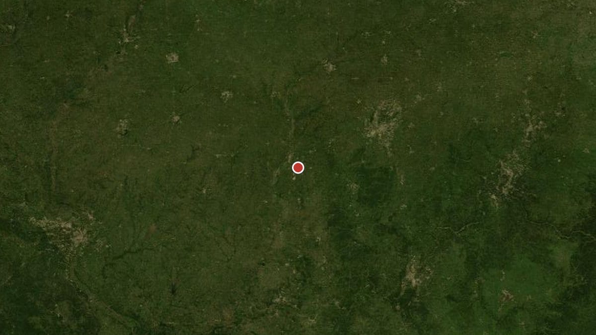
A regional map with Riley, Indiana marked
Location of Riley, Indiana, United StatesBase: NASA Earth Observatory Blue Marble (MODIS, 2004) via NASA Worldview/GIBS; coastline: Natural Earth (public domain); position: the reporting agency's own coordinates · cc0

Thunderstorm winds damaged three to four homes and threw a grain bin into nearby trees about two miles south of Riley, in Vigo County, Indiana, at 5:30 p.m. EST on Nov. 11, 2026. Trees were also downed in the roadway, the National Weather Service's Indianapolis, Indiana, office said in a local storm report based on a trained spotter's account.

Sources

Spot an error?

Spot an error?

Report an error

Spotted a mistake on this page? Tell us what's wrong and our editors will take a look.

What kind of problem?

Only if you'd like us to be able to follow up. We won't use it for anything else.

We correct mistakes openly. Select any text to flag it. Fixes are logged under our Corrections Policy.

Report an error

Reporting on

Thunderstorm Winds Damage Homes, Grain Bin Near Riley, Indiana

What kind of problem?

Only if you'd like us to be able to follow up. We won't use it for anything else.

We read every report. Corrections are logged publicly.