A Strong El Niño Is Driving the Steepest Carbon Dioxide Rise the Met Office Has Ever Forecast
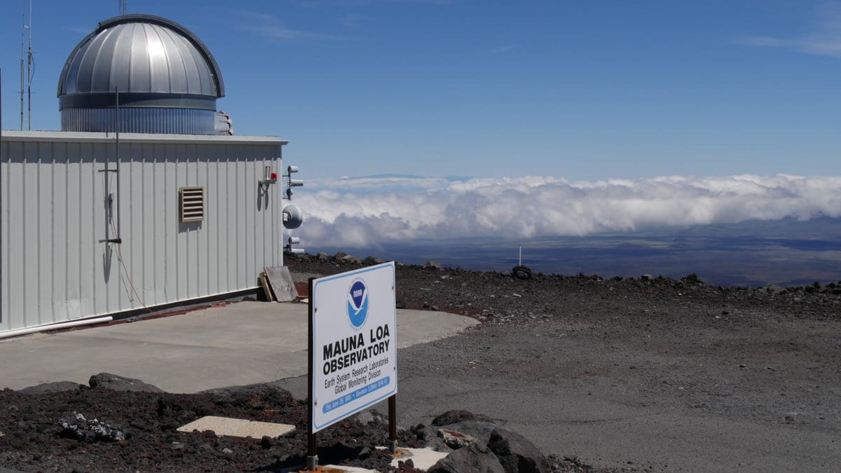
The Met Office forecasts that the annual average concentration of carbon dioxide at Hawaii's Mauna Loa Observatory will rise by 3.51 ± 0.52 parts per million (ppm) in 2027, reaching 432.2 ± 0.5 ppm. The service, which published the projection Nov. 6, 2026, says it is the largest annual increase it has ever forecast; it has produced the forecast each year since 2016.
The Met Office sets the forecast against the pace that climate pathways require. Across the pathways of the Intergovernmental Panel on Climate Change that limit warming to 1.5°C with little or no overshoot, the average annual rise through the 2020s has to stay between 1.33 and 1.79 ppm. The observed average between 2020 and 2025 was 2.61 ppm.
Met Office scientist Emily Wright, who worked on the forecast, said: "Human emissions are still driving the long-term increase, but plants, soils and oceans normally absorb some of the CO₂ we release. El Niño events reduce how much they absorb overall, leaving more CO₂ in the atmosphere."
To estimate the 2027 rise without El Niño, the Met Office ran its model again after removing the sea-surface temperature changes associated with the event. That run gave an increase of 2.57 ppm.
El Niño can bring hotter and drier conditions to tropical land regions, the Met Office said, weakening the ability of forests and other vegetation to absorb carbon dioxide. Areas at increased risk of dry conditions during the current El Niño include parts of Central America, west Pacific nations and tropical South America.
Richard Betts, Head of Climate Impacts Research at the Met Office Hadley Centre, said: "To follow pathways consistent with limiting warming to 1.5°C, the underlying rate of CO₂ increase needs to slow substantially, but this forecast shows that the rate of rise remains too high."
The forecast rise is comparable to the record increase of 3.57 ppm observed in 2024, which the Met Office says was boosted by exceptional wildfire emissions. The 2026 level the new rise is measured against is itself partly estimated, from observed concentrations through September 2026 plus predicted monthly increases for October to December.
The Keeling Curve record of carbon dioxide at Mauna Loa has been maintained by the Scripps Institution for Oceanography at the University of California San Diego since 1958.