Ireland Now Has a National Map of Its Most Exposed Coastline
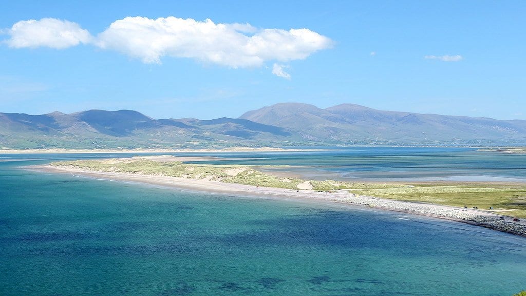
Researchers at University College Cork have published a national index of how exposed the Republic of Ireland's coast is to climate hazards, rating about 8,575 kilometers of shoreline at 250-meter intervals. The study appeared in the journal Natural Hazards on Sept. 4.
The authors describe the index as a national screening assessment meant to guide adaptation planning, with results reported for each coastal local authority, the bodies responsible for coastal management in Ireland. Its output is relative exposure classes from a model, not measured risk.
Kevin Walsh, Aaron Lim and colleagues built the index with the InVEST Coastal Vulnerability Model, an open-source tool. It combines shoreline type and elevation with three decades of wind and wave records, sea-level-rise rates and storm-surge levels. Dunes, saltmarsh, seagrass and machair (a sandy coastal grassland) were entered directly. The team reports that habitats lower potential exposure along 38% of the coast, with saltmarsh accounting for most of it.
Laid over census data, the index puts almost 10,000 people in each of Galway City and Dublin City within 500 meters of coastline in its highest exposure class. Removing the habitats from the model raises the exposed population in nearly every coastal authority.
Exposure is highest along the west and northwest coasts, where County Mayo holds the greatest length of shoreline in the top class. The team also mapped registered national monuments near the coast and found about a fifth of them in that class, including a cluster on the uninhabited island of Inishmurray, off County Sligo.
Ireland's Office of Public Works has already published national maps of coastal flooding and erosion. Those do not assess the exposure of populations, ecosystems or assets, the authors say, and to their knowledge no nationwide assessment of Irish coastal exposure had been published before this one.
Sources
- doi.orgPeer-reviewed