A Hidden Fault Under 600,000 People: What Lidar Reveals Beneath Vancouver Island

When a kilometer-thick ice sheet retreated from Vancouver Island at the end of the last glaciation, it left behind a scoured, sculpted landscape. That is exactly what makes the island a hard place to read for earthquake scientists. Glaciers gouge long, straight grooves into bedrock. So do faults. Tell them apart from the air, and you can map where the ground has broken; mistake one for the other and you either invent a danger that isn't there or miss one that is.
That is the problem a team led by Guy Salomon, with Theron Finley, Edwin Nissen, Lucinda Leonard, and Nicolas Harrichhausen, set out to work through along the San Juan fault, an east-west structure running across the southern part of the island. Their study appeared July 23 in a special Cascadia-focused issue of the journal Seismica (Salomon et al., 2026). The stakes are unusually concrete for a piece of fault geology: the fault crosses terrain home to about 600,000 residents, in and around the Victoria region.
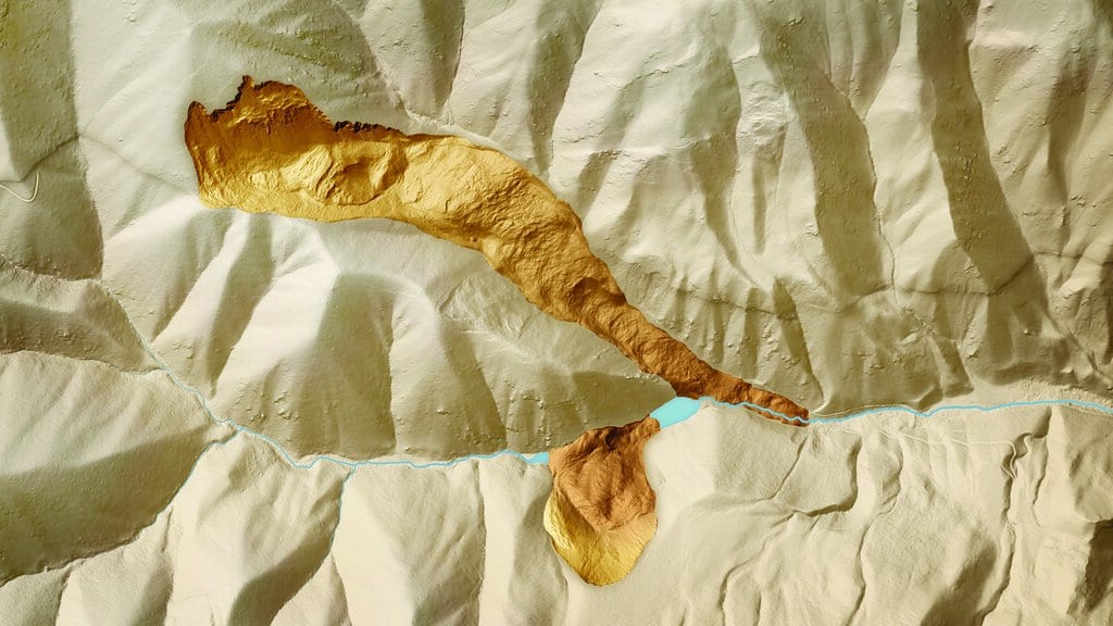
Using high-resolution lidar, which strips away trees and vegetation to expose the bare shape of the land, the researchers traced "a relatively continuous and linear set of 2 to 150 meter high, north-facing scarps" along the fault. A wall of that kind, running straight for kilometers, is the signature you would expect from repeated fault motion. But a straight scarp alone does not prove it. Glacial erosion can carve something similar, and the team was candid that clear offsets in the young Quaternary sediments, the smoking gun paleoseismologists look for, were sparse.
So they reached for two other tools. The first was a Schmidt hammer, a simple device that measures how hard a rock surface is by bouncing a spring-loaded mass off it. The logic is subtle but powerful: if the fault lifted one block relative to another, the hammer should read different hardnesses on the two sides, because rock from different depths and histories now sits face to face. That is what they found. The lowered northern side read harder than the raised southern side, a pattern they argue points to "south-side-up motion" that is "tectonically driven" rather than the work of ice.
The second tool looked underground. Electrical resistivity tomography sends current into the earth and maps how easily it flows, revealing where rock has been fractured and disrupted beneath the surface. Under the scarps, the imaging showed the kind of disturbance a fault plane would leave. Curved offsets in old drainage channels added one more clue, hinting that the fault's most recent movement was dextral-reverse, and that it may have reversed an even older, opposite sense of slip earlier in its history.
Three independent methods, all pointing the same way. And yet the paper does not declare victory. The authors describe their own conclusions as "somewhat equivocal." They have strong circumstantial evidence that the San Juan fault has moved in the geologically recent past, but they have not dug the trenches that would date individual earthquakes or measure how much ground each one moved. What they claim is narrower and more honest: the findings "strongly motivate future paleoseismic investigations" along the fault.
That distinction matters, especially for the people living above the fault. The evidence does not establish an imminent earthquake, but it does show that a structure previously easy to overlook deserves closer investigation.
It also fits a picture that has been sharpening for years. Southern Vancouver Island already hosts other active crustal faults. The nearby Leech River fault has left evidence of multiple surface-rupturing earthquakes since the ice retreated, and the XEOLXELEK-Elk Lake fault has been added to the region's hazard maps. These shallow crustal faults sit beneath communities, distinct from the Cascadia subduction zone, the offshore megathrust capable of a magnitude-9 rupture that dominates most conversations about earthquake danger in the Pacific Northwest. The subduction threat is real and larger in raw energy. But a crustal fault directly under a city, even one capable of a smaller quake, can shake buildings hard precisely because it is so close and so shallow.
The San Juan fault, on this evidence, belongs on that list of structures worth understanding better. The next step is a trench, a spade, and patient dating of the layers a rupture would disturb. Until then, the San Juan fault remains a structure that warrants closer investigation.
Sources
- SeismicaPeer-reviewed