One Seismometer Can't Speak for the Ground Three Kilometers Away

A seismometer reports one number for one patch of ground. The house a kilometer down the road has no seismometer of its own, so whatever shook it has to be inferred from the instrument that does exist. That inference sits behind every map of where an earthquake was felt hardest, and it carries an assumption: that the ground a short distance away behaved in much the same way.
Debi Kilb and Frank Vernon, seismologists at the Scripps Institution of Oceanography at UC San Diego, set out to measure how well that assumption holds at the shortest distances anyone normally worries about. Their answer, published Aug. 28 in the journal Seismica, is that it holds less well than the practice implies.
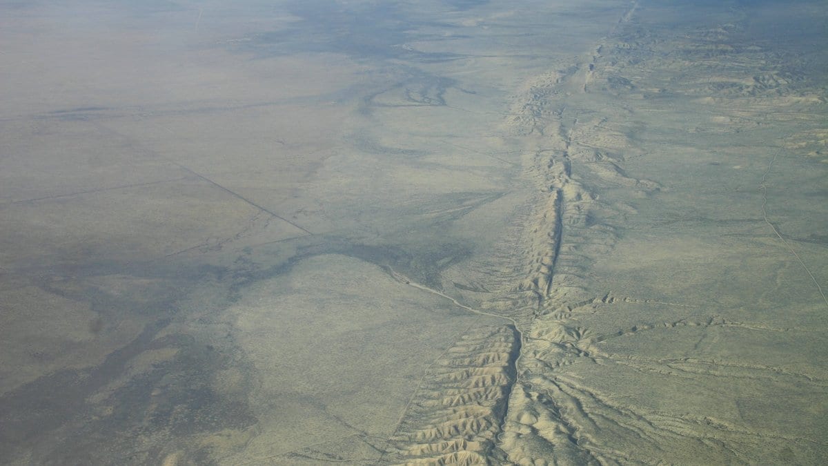
They had unusual material to work with. Seven small-aperture seismic networks in southern California (clusters of instruments less than three kilometers across, each of them running for a year or more) sit in a region that produces small earthquakes almost continuously. Five of the seven straddle the San Jacinto fault; the other two sit away from it.
The starting point was a base catalog of 4,038 earthquakes of magnitude 2.5 and above, recorded between 2010 and 2023. Much of the work after that was subtraction. Recordings overprinted by a second earthquake striking nearby minutes later were thrown out, along with waveforms too degraded to measure. What survived is a set of readings of the same shaking, taken by instruments inside the same small cluster.
The scatter inside those small patches turned out to be large. For every one of the networks, the coefficient of variation (one standard deviation expressed as a percentage of the mean) fell between 26 and 38 percent, each array with its own value in that range. That is the ordinary internal disagreement of a single cluster about a single earthquake. The instruments are neighbors, and they still do not agree about how hard the ground moved.
The authors compared their readings with the estimates from ASK14, an empirical model published in 2014 by Abrahamson, Silva and Kamai. It predicts how hard the ground should move at a given distance from an earthquake of a given size, and it is a standard reference for active crustal regions like California. On average, the arrays crossing the San Jacinto fault recorded motions above that expectation, and the off-fault arrays came in at or slightly below it. The authors stress that this is a tendency across many events, not a claim that every recording at every fault-zone ran high.
The explanation the field usually reaches for, and the one carried in the literature this study cites, is structural. A mature fault is not a clean break but a band of rock broken and rebroken by past ruptures, slower to carry seismic waves and prone to amplifying them.
In 2020 Kilb, Vernon and colleagues blanketed a patch of the San Jacinto fault zone a few hundred meters across with densely packed geophones, and found the scatter in peak velocity there at 13 to 22 percent of the mean. Widen the patch to the scale of these seven arrays and the disagreement roughly doubles.
Dense arrays elsewhere have found the same effect. In Iceland and across Istanbul, peak shaking varies significantly between stations only a few kilometers apart, on ground that looks uniform from above. What they establish is that short-distance variation is real and large. These particular numbers, and the offset at the San Jacinto fault, are this study's own.
What the study does not hand anyone is a correction factor. There is no multiplier here to apply to a reading taken near a fault, and no rule for how far a measurement can safely be carried. The authors state that extrapolation "should be done with caution even within small regions."
The peak motions the study flagged as unusually high or low against the model are posted as a CSV file on Zenodo under a Creative Commons license, and Seismica publishes the referees' reports beside the article.
For anyone reading a shaking estimate for a particular address, the operative figure is that scatter. The instrument behind the estimate may be less than three kilometers away and still be describing different ground.