The Ocean Was Already Warm: How a North Sea Heatwave Supercharged Storm Babet's Floods

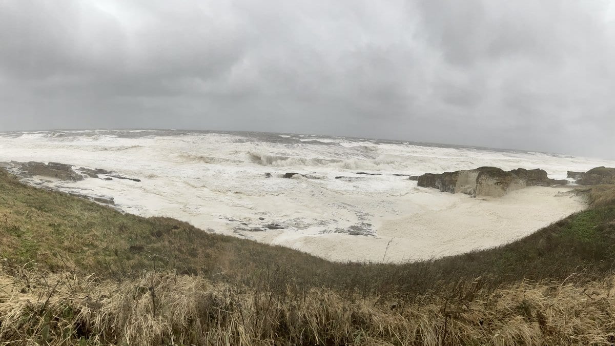
For most of the late summer of 2023, the North Sea sat under stubborn high pressure. Clear skies, weak winds, and a shallow mixed layer let heat pile up in the top few tens of meters of water and stay there. By early October, the central North Sea was running 0.8 to 1 degree Celsius warmer than its baseline, top to bottom, across a shelf shallow enough that the excess heat had nowhere to escape. It had been that way for about seven weeks. A marine heatwave, in other words, was already in place and waiting when Storm Babet arrived.
Babet swept in between October 17 and 21, dropping 150 to 200 millimeters of rain over the wettest parts of eastern Scotland and driving a storm surge more than half a meter above the seasonal norm. The floods that followed were among the most damaging the region had seen in years. The obvious question afterward was whether the warm sea underneath the storm had made things worse, and if so, by how much.
Answering that requires a kind of experiment the real world does not permit: running the same storm twice, once over a warm ocean and once over a cool one. A team led by Piyali Goswami at the University of Reading, working with the Met Office and colleagues in South Korea, Brazil, and at the European Centre for Medium-Range Weather Forecasts, built exactly that experiment inside a computer. Their study appears in Natural Hazards and Earth System Sciences, published July 21.
The tool was the Met Office's UKC4 regional coupled system, which stitches together an atmosphere model, an ocean model, a wave model, and a river-flow model so they all talk to each other hour by hour as a storm evolves. The researchers ran Babet twice. In one set of simulations the ocean began from the warm October 2023 state; in the other, they swapped in near-average ocean conditions from October 2020 and left everything about the atmosphere unchanged. The gap between the two runs isolates one thing: what the marine heatwave, and only the marine heatwave, added to the storm.
The warm sea deepened the cyclone slightly, lowering its central pressure by 1 to 2 hectopascals, a small shift with outsized downstream effects. As dry continental air blew across the heated basin, it drank up moisture; trajectory analysis showed air parcels roughly doubling their humidity while crossing the heatwave, with latent heat flux into the storm rising 15 to 20 percent at peak intensity. More moisture in meant more rain out, and a marginally stronger, wetter storm pressing on the coast.
The impacts followed. River discharge at flood peak ran 12 to 18 percent higher over the warm ocean than the cool one. The coastal storm surge rose by about 20 percent. Wave power along the coast climbed roughly 9 percent, and rainfall over eastern Scotland saw a small but statistically significant bump. None of these is enormous on its own. Together they describe a storm whose every flooding mechanism, from the sky, the rivers, and the sea at once, was nudged in the same damaging direction by the water it passed over.
The model slightly underestimated both the real heatwave's strength and Babet's largest observed waves, which makes its amplification figures, if anything, conservative rather than inflated. And a single storyline study of one storm is a demonstration, not a universal law; the exact percentages belong to Babet and the North Sea's particular shallow, poorly ventilated geometry, where trapped heat sits close to the surface instead of mixing away into the deep.
That geography is also what makes the finding hard to shrug off. The North Sea has been warming by roughly 0.3 degrees Celsius per decade since the early 1980s, faster still in its southern reaches. The authors point out that the warm anomaly they studied is close to what routine warming would make normal by the early 2040s. As marine heatwaves stop being exceptional and start being the baseline the sea sits at, the extra surge, the extra discharge, and the extra wave energy they measured here would ride along with a far larger share of the storms that come ashore.
The lasting contribution is not any single percentage, but the method behind it. Marine heatwaves have mostly been studied as an ocean problem, a threat to fish, kelp, and coral. By coupling ocean, atmosphere, waves, and rivers in one model and running the same storm over two different seas, this work traces a clean causal line from warm water offshore to deeper floods on land, and gives coastal planners a way to ask how much of tomorrow's flooding is already sitting in the ocean before the wind even starts to blow.
Sources
- Natural Hazards and Earth System SciencesPeer-reviewed