Two Wave Patterns Started the Wind Burst That Helped Prime the 2023 El Niño

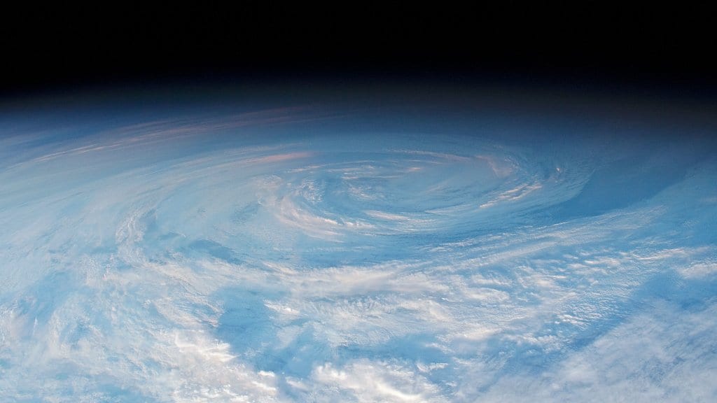
The trade winds over the tropical Pacific normally push west, piling warm water up near Indonesia. For ten days in November 2023, a patch of them turned around and blew hard toward the east. A reversal like that matters out of all proportion to its size: it sends a pulse of warm water east along the equator and can tip the ocean further toward El Niño. Haihang Zheng of Shanghai Jiao Tong University and Tao Lian of the Second Institute of Oceanography, Ministry of Natural Resources, spent that event on the question most accounts skip. Not what the wind did next, but what made the wind.
Their paper, published Oct. 5, 2026, in Environmental Research Letters, is careful about its own boundaries. Its first sentence notes that the burst "has been suggested to have substantially influenced" the strong 2023/24 El Niño, a point the authors take from earlier work rather than test. What they set out to explain is where the burst itself came from, which they write remains poorly understood.
Two things started it, and both are patterns in the tropical atmosphere rather than single storms. One is the Madden-Julian Oscillation, a traveling tropical rain band, which circles the globe every month or two and is the usual suspect when the equatorial winds reverse. The other is a set of equatorial convective Rossby waves, slower rain-bearing ripples that travel west. The two initiated this burst jointly, the authors report, with the Rossby waves playing the dominant role, a ranking drawn from this one event rather than from wind bursts in general.
The pairing itself is not news. Martin Puy and colleagues reported in Springer Nature in 2015 that 86% of westerly wind events in the equatorial Pacific occur during the rainy phase of the oscillation, of the Rossby waves, or of both. Cases driven by the two together, they found, are far more common than chance would allow. What the new paper says is missing: an account of how those ingredients came together in a particular burst. It is filling a gap, not reversing a consensus.
The rest of the sequence is about what joined in. Zheng and Lian report that as the burst strengthened, southerly winds tied to mid-latitude low-pressure systems in the Southern Hemisphere sharply reinforced it. A push from outside the tropics is a known ingredient: Arnold Sullivan and colleagues argued in Scientific Reports that the main drivers starting these bursts are identifiable physical processes rather than random atmospheric noise, and named the East Asian monsoon and the flow of air across the equator from the Australian monsoon region among them.
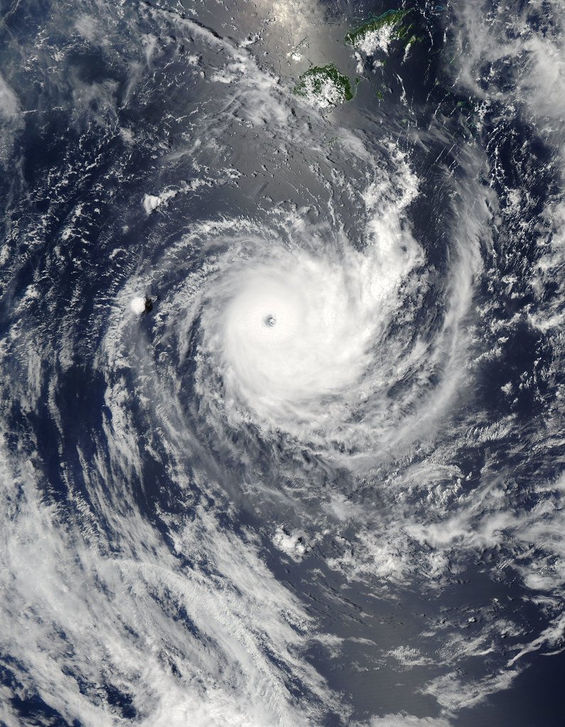
At its peak, two more systems added to it: an East Asian cold surge, cold air sweeping south, and Tropical Cyclone Mal. Mal left a track of its own in the agency record. An ECHO daily flash of November 14, 2023 drew on GDACS, the Joint Typhoon Warning Center and the Fiji Meteorological Service. It reported that Mal had formed over the South Pacific near the Solomon Islands on Nov. 10 and was moving southeast toward Fiji. By the date of that bulletin its maximum sustained winds stood at 111 kilometers per hour, with its center offshore of Viti Levu, Fiji's main island.
Taking a single burst apart like this has a precedent in the previous strong El Niño. Shangfeng Chen and colleagues reported in Atmospheric Science Letters that the first of the wind bursts of March 2015 was set off mainly by the Arctic Oscillation, a swing in polar winds, then strengthened by the Madden-Julian Oscillation and by cold surges out of East Asia. Southerly winds off Australia drove another burst that May. Those bursts, they wrote, sent warm waves east along the equator and warmed the sea surface in the eastern Pacific. Set beside each other, the two accounts share a feature: the same ingredients turn up, but in a different order.
That is why the paper ends on prediction. Because wind bursts matter so much to how El Niño evolves, the authors suggest, accurate El Niño prediction by current climate models will remain difficult unless the weather systems closely tied to those bursts can be simulated adequately. They offer it as a suggestion, and it restates a problem Lian's earlier work has pointed at. It also sharpens an awkward mismatch of scales: forecasting an El Niño months ahead means getting right a chain of events that ran from Nov. 6 to 16, 2023, and included a cyclone passing Fiji. That one burst is the whole of the study, and the ranking it reports does not transfer to other bursts or other El Niños. What is published now is the accepted manuscript, so the wording can still change in proof.