Farmland Burns Less Than the Land Around It, and the West Has Been Losing Farmland

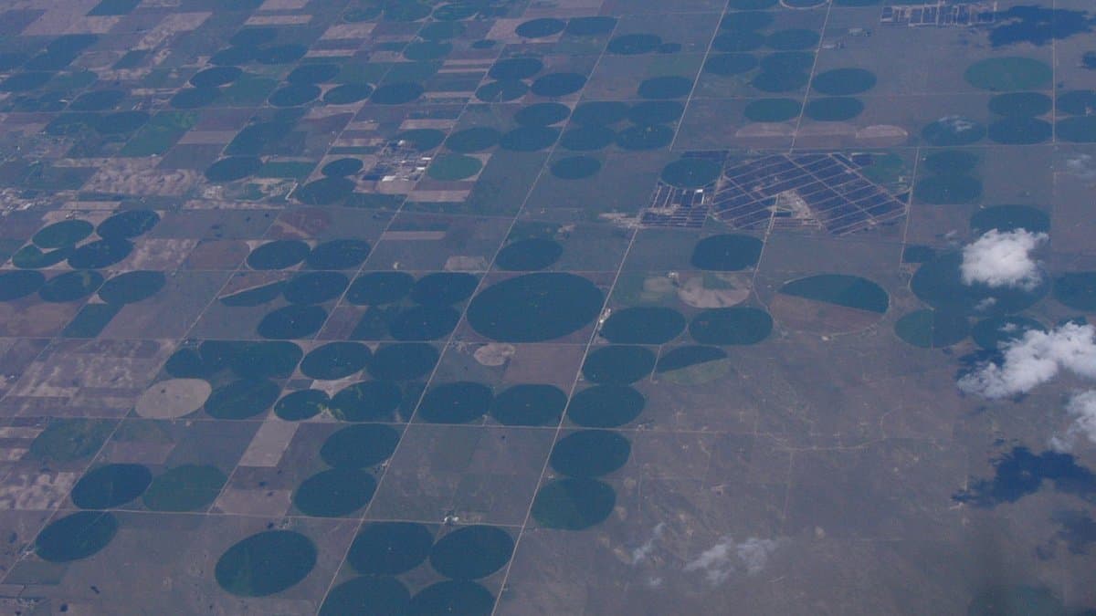
The American West is answering two problems on the same ground, and the two answers have been drawn up separately. There is not enough water, so farmland is taken out of production. Fire keeps arriving where people live, so attention goes to how and where towns expand. Both are sensible responses to real hazards. Neither asks what the retired fields were doing before they went.
A team led by Austen Lorenz of Aythya Analytics and Christine Albano of the Desert Research Institute went looking for that answer. Their co-authors work at the same institute, at All Hands Ecology and at the National Interagency Fire Center. Their study, published Sept. 28 in the open-access journal Environmental Research Letters, covers 11 western states and nearly four decades of land cover, and it starts from something intuitive that the paper sets out to demonstrate: cropland is less likely to burn than other kinds of vegetation. A working field is a buffer, at the scale of a whole landscape.
That buffer has been shrinking. Within the 477 watersheds where cropland and wildfire have met, about 4.29 million hectares of cropland was lost between 1985 and 2024. The number counts loss inside those watersheds, not across the West as a whole; the team picked out the places where farming and fire actually touch and measured there.
What the ground became next splits the story in two. In most of those watersheds, 77% of them, the change fits the pattern of fallowing. Fields gave way to grasses and scrub, which carry fire more readily than a crop. Those watersheds lie across the Pacific Northwest, the Inland Northwest, the Intermountain West and the Great Basin. The cause is inferred rather than watched: the team reads it from the land cover itself, and no quantity of water saved is measured anywhere in the paper.
In 19% of the watersheds the fields became developed land instead, clustered around metro areas in California, Idaho, Oregon, Washington, Utah and Colorado. There the loss works twice over: development removes the ground that was slow to burn and adds new sources of ignition. The remaining watersheds saw cropland turn into wetland and forest.
The study stops there, and where it stops matters. It shows that cropland burns less and that cropland has gone; it does not measure what the fires did afterward. No change in area burned is reported, and no fire is traced to a field that is no longer in the way. The paper's own title ends in a question mark, and its conclusion is that the tradeoff is emerging, not that it has been proven.
And lost is a softer word here than it sounds. The dominant change is fallowing, which runs in both directions: ground out of production one year can be back in it the next. What the study tracks is where the fields were and were not across that period, not a permanent retirement of farmland.
Fallowed ground has already produced one unintended effect of its own. In Communications Earth & Environment in 2025, a separate group tied fallowed fields in California's Central Valley to most of the state's major dust events from human sources, a public health problem instead of a fire hazard. And in January 2024, a group writing in Science of the Total Environment measured how readily crops, pastures, fruit trees and weeds burn, offering the numbers as a tool for fighting fire in farmed country.
The researchers propose a modest recommendation: planning tools that weigh water savings and fire risk in the same calculation, rather than one at a time. The map the team built is a start on that. It marks where the question applies, and the answer will not be the same in the Great Basin as it is on the edge of a growing city in Idaho or Utah.