Ten Month-Ahead Forecast Systems Share One Blind Spot for Storms

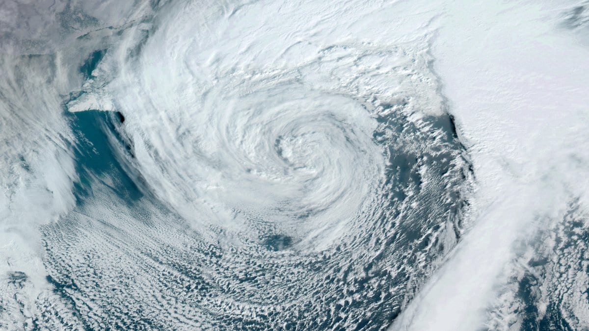
A forecast for next month is mostly a forecast about averages. It offers a smear of pressure and temperature across several weeks, which is roughly as much as the atmosphere will concede that far out. But the things people plan around are not averages. They are individual storms: the deep lows that cross the North Atlantic and the North Pacific in winter, flood a coast, ground flights and cut the power.
Shentong Li and Jing Yang of Beijing Normal University, with five colleagues in China, Hong Kong and the United Kingdom, went looking for the storms themselves. Their paper appeared Oct. 30, 2026, in Environmental Research Letters. They took hindcasts, which are replayed past forecasts, from ten of the world's leading month-ahead prediction systems. Then they tracked individual low-pressure centers through them, one storm at a time, instead of reading averages off a pressure map.
One bias runs through the group. The paper calls it common and pervasive across the ten systems, and the numbers it puts on that bias belong to those ten averaged into a single forecast, which is how centers normally use them. At a one-month lead, that combined forecast carries 10% to 18% fewer storms than were observed, and storms about 13% weaker.
The gap widens exactly where it is least welcome. Forecasters call the fastest-deepening winter lows bomb cyclones, because their central pressure drops so sharply, and for those the combined forecast predicts more than 26% fewer than were observed.
The intensity half of that result is this study's own, and earlier work points the other way. Dominik Büeler, Michael Sprenger and Heini Wernli of ETH Zürich tracked storms through two decades of month-ahead re-runs from the European Centre for Medium-Range Weather Forecasts. Writing in the Quarterly Journal of the Royal Meteorological Society in 2024, they reported that "the reforecast cyclones reach too-high intensities during most seasons, although intensification rates are captured well."
The two results need not contradict each other, since they examine different forecasting systems and methods. But the claim that month-ahead models make storms too weak is this paper's finding, not yet a settled one. On the count of storms, the two studies agree: the earlier work found regional shortfalls too, the worst of them more than 30% in the summer North Atlantic.
The new paper traces the shortfall to the models' own temperature structure. The storms of the middle latitudes are built out of the temperature contrast between the tropics and the pole, and inside these systems that contrast is misrepresented. Each model's jet stream, the fast ribbon of high-altitude wind that storms grow along, then comes out weaker than it should be and shifted north or south of where it belongs. A weaker, displaced jet offers less of the instability storms draw their growth from, so fewer of them form and the ones that do intensify less. The flaw is in the models, not a finding about the real atmosphere.
The second half of the paper asks how far ahead any of this can be called. During each region's own peak storm season, a regional storm count can be predicted only about 9 to 18 days out. The horizon is longest over the North Pacific and shortest over the North Atlantic, a contrast tied to which large-scale patterns drive each basin and how predictable those patterns are themselves.
That number is narrow on purpose. It is the skill for how many storms a region gets, in that region's busiest season, and not a horizon for any single storm. Other measures reach further. Cheng Zheng of Stony Brook University and colleagues, in a 2019 study of the same shared archive of month-ahead forecasts, found useful prediction of wintertime storm activity up to four weeks ahead over parts of the Pacific and the Atlantic.
What the ten systems now have is a yardstick. The paper offers what it calls an event-based benchmark for month-ahead storm forecasts, meaning one built on tracked storms rather than averaged maps. It also names the bottleneck to work on: the large-scale temperature structure the models get wrong. A bias of known size and sign can meanwhile be corrected for after the forecast is made, which is a separate line of work from fixing the model itself. The version now posted is the accepted manuscript, peer-reviewed and open access but not yet copy-edited into its final form.