Counting Who Lives Next Door to an Oil or Gas Well, in 33 Countries at Once

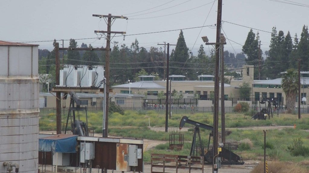
For decades, the question of who lives next to an oil or gas well has been answered one country at a time. The United States has a number. Canada has one. Each was built to its own design, with its own rule for what counts as a well and how close counts as close, so the numbers were never really comparable. A team led by Lara Schwarz of the University of California, Berkeley, has now run the count for 33 countries at once. Using one rule for all of them, they arrive at 150.9 million people living within 3 kilometers of a well.
The study, published Sept. 30, 2026, in the open-access journal Environmental Research Letters, lays two public datasets over each other. One is the Oil and Gas Infrastructure Mapping database, an open inventory of where oil and gas facilities stand, assembled to track methane sources. The other is the Global Human Settlement Layer, a map of where people live laid out on a grid built from satellite imagery. Draw that ring around each of 4.5 million wells on the 2024 maps, count the residents inside and the total comes to about 10% of the combined population of the countries studied.
The 33 analyzed nations are not a sample of the world. They are the countries where well locations are publicly mapped in enough detail to make the question answerable. The inventory behind the count holds records for 193 countries, and most of them did not clear that bar. Everyone living beside a well in the rest is missing from the total, so the figure is a floor and not a global count.
As a share of a country's population, the Netherlands comes first. Schwarz and colleagues put 38.4% of Dutch residents inside that ring, ahead of Canada at 33.4% and the United States at 31.3%. A small country that has pulled gas out of the ground for decades leaves little space between a wellhead and a front door.
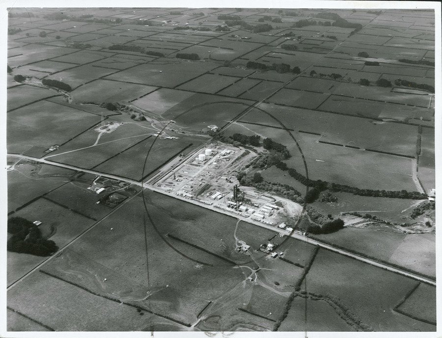
A second number runs alongside the first and is easy to confuse with it. The researchers also measured land rather than people: how much of a country's territory falls inside the same ring. The Netherlands leads there too, with 36.6% of its land area, and the Dutch figures happen to land close together. They are not the same quantity. One counts residents, the other counts ground, and a country can rank high on one and low on the other.
Wells also sit close to borders. In 15 of the 33 countries, some residents live near wells on the other side of a national line, under rules their own government had no part in writing. In Mexico, 427,000 people live near wells in the United States. It runs the other way too: 185,000 U.S. residents live near wells outside their own country.
What the map shows is distance, and only distance. Nobody sampled the air outside a house, measured a dose or opened a medical record. The ring is where the authors chose to count. It is not a line at which something is known to begin, and it is not a legal minimum distance between a well and a home. Schwarz and colleagues describe the result as an evidence base for population health research that has not been done yet, and for policy on energy and inequality.
Counts like this turn on two choices: how wide to draw the ring, and which wells go inside it. How unsettled those choices are shows up in the title of an earlier national analysis of the United States, published in 2017 in Environmental Health Perspectives: "Toward Consistent Methodology to Quantify Populations in Proximity to Oil and Gas Development." Numbers produced under different rules are not interchangeable, which is the practical reason for counting many countries at once under one rule.
Schwarz and colleagues also laid the proximity map over indicators of income and social deprivation, to ask whether the households nearest to wells are also the poorest. That is the sort of question a count like this is built to make askable. A comparison between countries needs a measurement made the same way in each of them. The authors call theirs the first large-scale, multi-country count of residential proximity to oil and gas extraction, which remains a conservative lower bound.