Skip to content
See the World Through ScienceA project of ALLATRA

M6.3 Earthquake Strikes Near Port-Olry, Vanuatu

Natural Disasters
Republish this story

Our work is licensed under Creative Commons BY-NC 4.0. You may republish this piece for free — with credit to ALLATRA Media and a link to the original, unedited beyond length trims, and not for commercial use.

Read the full license

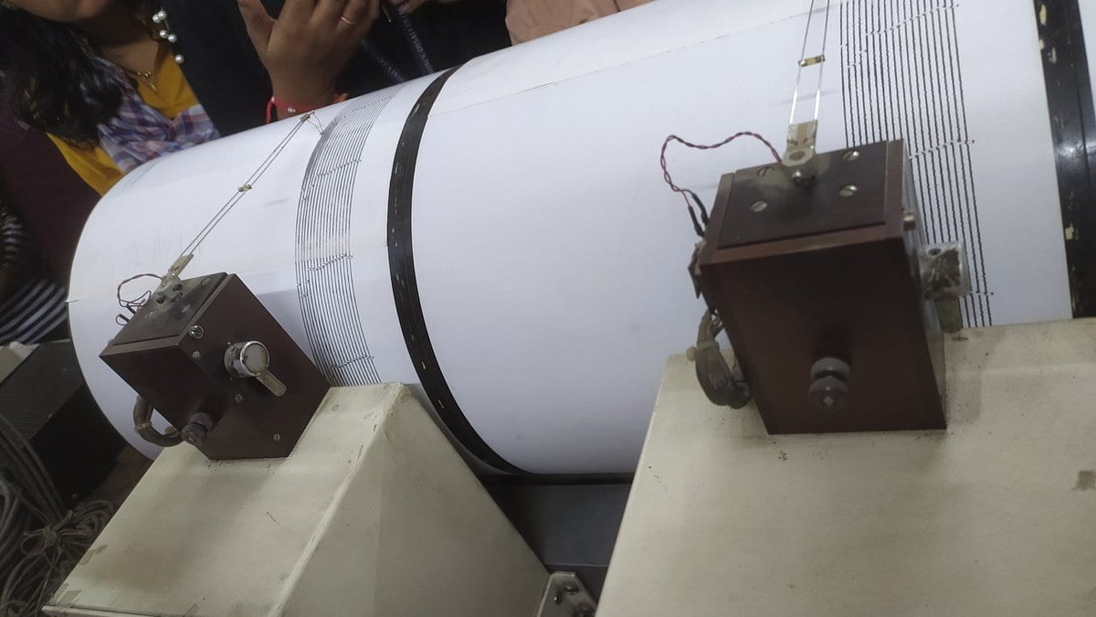
A seismograph instrument that records ground motion from earthquakes
A seismograph, the instrument that records earthquake ground motion. A magnitude-5.9 quake near Taumarunui, New Zealand, triggered smartphone alerts and revealed a previously unmapped fault. Photo: अक्षय विनायकराव तायडे, CC BY-SA 4.0."Seismograph in Shimla House Pune" by अक्षय विनायकराव तायडे is licensed under CC BY-SA 4.0. https://creativecommons.org/licenses/by-sa/4.0/

The U.S. Geological Survey (USGS) said a magnitude 6.3 earthquake struck 197 kilometers northwest of Port-Olry, a village on Espiritu Santo island in Vanuatu, at a depth of 16 kilometers, at 4:20 a.m. UTC on Oct. 20, 2026. USGS reports the quake's time in UTC only.

At least one person near the epicenter reported feeling the shaking, USGS said. The agency's shaking-intensity model puts about 3,520 people in a zone of light shaking and about 30 people in a zone of weak shaking. USGS's impact estimate says there is a low likelihood of casualties and damage.

Sources

Spot an error?

Spot an error?

Report an error

Spotted a mistake on this page? Tell us what's wrong and our editors will take a look.

What kind of problem?

Only if you'd like us to be able to follow up. We won't use it for anything else.

We correct mistakes openly. Select any text to flag it. Fixes are logged under our Corrections Policy.

Report an error

Reporting on

M6.3 Earthquake Strikes Near Port-Olry, Vanuatu

What kind of problem?

Only if you'd like us to be able to follow up. We won't use it for anything else.

We read every report. Corrections are logged publicly.