Satellites Show an Omani Reef Shrinking Steadily, Not in Storm Bursts
The coral reef at Bar Al Hikman in Oman has been losing area continuously since the mid-1980s rather than in pulses driven by storms, according to a 40-year satellite reconstruction published Aug. 25 in Scientific Reports.
Zayad Al-Zayer and colleagues at Imperial College London and King Abdullah University of Science and Technology ran 223 satellite scenes covering 1985 to 2025, an average of 5.8 usable images a year, through a machine-learning classifier that separates reef from surrounding seabed. The imagery is credited by the authors to ESA, CNES/SPOT and NASA/USGS Landsat.
The rate of loss rose from 0.10 square kilometers a year before 2006 to 0.15 square kilometers a year afterward, the study reports. Extending that rate forward, the authors project that the Bar Al Hikman reef would be lost entirely by 2060, about 40 years earlier than previous estimates for this reef.
Where the reef's margins retreated lined up with the persistent direction of monsoon waves rather than with cyclone tracks, according to the paper. That is the finding behind the steady-decline result: a reef eroding under ordinary conditions loses area on a different schedule from one knocked back by individual storms, and the two patterns imply different timelines.
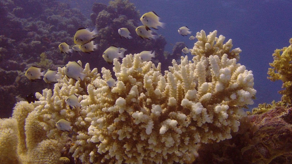
The reef is dominated by corals of the genus Montipora. The reconstruction is built from classified satellite imagery, not from in-water survey, so it measures the area the reef covers rather than the condition of the coral within it.
Sources
- www.nature.comPeer-reviewed