Sinking Ground Could More Than Double China's Coastal Flood Losses by 2100
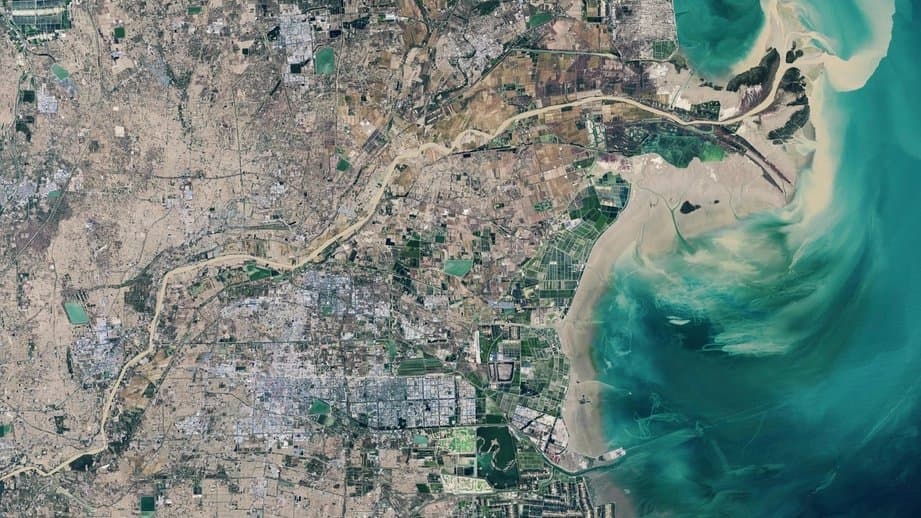
Researchers at Peking University and collaborating institutions have found that localized land sinking in North China's major coastal industrial region could amplify sea-level-driven flood losses by 110%–260% beyond what climate projections alone would suggest, according to a study published Sept. 17 in Communications Earth and Environment.
The authors argue that coastal risk assessments relying solely on IPCC sea-level projections miss a significant local factor: the ground itself is subsiding, largely from groundwater extraction, and that sinking compounds the flood threat independently of how much seawater rises.
Yongxuan Ran, Xie Hu of Peking University, and colleagues used high-resolution satellite radar measurements of local land motion, combined with IPCC sea-level rise scenarios and demographic projections, to assess inundation risk across the Bohai Economic Rim, the coastal gateway region encompassing major port and industrial centers in northeastern China. The authors project that IPCC-reported relative sea-level rise alone would cause a land loss of 373–458 square kilometers in the region by 2100. When local land subsidence is added, those projected losses grow by approximately 110%–260%.
Existing levee systems can reduce future flood extent by roughly 400 square kilometers and cut the exposed population by about 111,000 in 2100, the paper reports, but do not eliminate the risk. Adults face 10 ± 2% greater coastal flood risks than the general population under the study's model, the authors note.
The paper argues that integrating local land subsidence data into coastal planning is critical, because the IPCC's standard relative sea-level projections account for only partial vertical land motion and overlook the remaining local component.
Sources
- nature.comPeer-reviewed
