Groundwater Pumping Is Sinking Land in Northern China by 15 Millimeters a Year, Study Finds
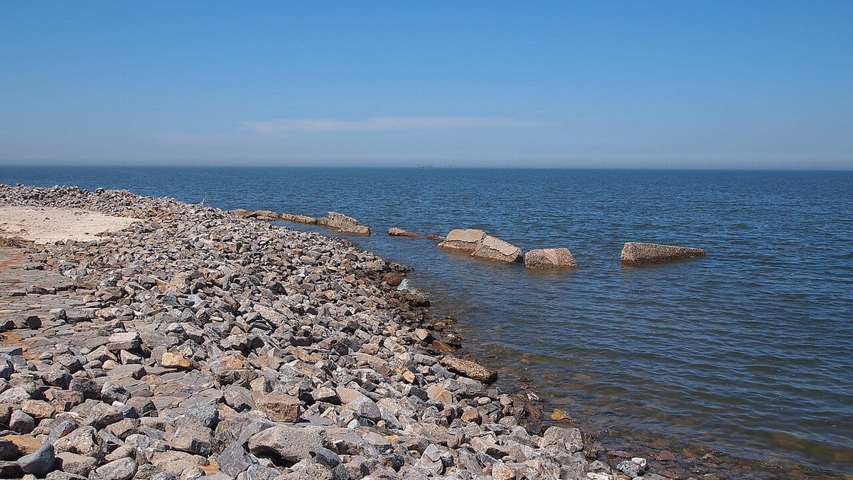
Groundwater extraction is driving land in northern China down by 15.1 millimeters a year, against a natural geological baseline of between -0.5 and 0.5 millimeters a year, according to a sea-level reconstruction for the Bohai and Yellow Seas published Aug. 26 in Communications Earth & Environment.
Yonghui Qin and colleagues at the University of Hong Kong, City University of Hong Kong and the Hong Kong Polytechnic University, with co-authors at the China Geological Survey's Tianjin Center and the Korea Institute of Geoscience and Mineral Resources, compiled a quality-controlled sea-level database covering the past 16,000 years. They ran it through a spatio-temporal hierarchical model, a statistical method that separates signals varying across both space and time, to distinguish natural vertical land motion from the modern human-driven kind.
For the late Holocene, the most recent few thousand years, the authors report that three slow geological processes set the baseline: glacial isostatic adjustment, the crust's continuing response to the loss of ice-age ice sheets; the compaction and loading of sediment; and tectonics. Together those give the range of -0.5 to 0.5 millimeters a year.
Modern vertical land motion, by contrast, is dominated by land-use change, the study reports, with groundwater extraction producing the 15.1 millimeters a year of subsidence measured in northern China. The authors describe magnitudes of that size as rivaling deglacial meltwater pulses.
Their reconstruction also puts a rate on one of those pulses. Relative sea level in the two seas rose at 14.6 plus or minus 1.5 millimeters a year about 10,800 years ago, give or take 200 years, a figure the authors say refines constraints on Meltwater Pulse 1B.
Along South Korea's coast, the paper reports discrepancies between modern observations and the model's baseline, which the authors say suggest interactions among sediment compaction, rebound driven by groundwater depletion, and tectonics.
The study is open access and posted as an early accepted version. It was supported by the Research Grants Council of Hong Kong and the University of Hong Kong, and contributes to the Asia Sea-Level Knowledge Hub, a project endorsed by UNESCO.
Sources
- www.nature.comPeer-reviewed