Robotic Ocean Floats Map Where Carbon and Nutrients Sink
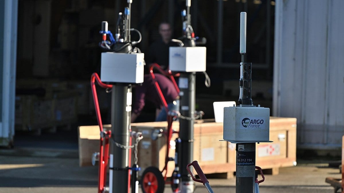
A research team at Hokkaido University has published global maps estimating how much silicate, nitrate and carbon sink out of the sunlit surface ocean each year, and how much is carried back up. The maps, published Sept. 1 in Scientific Reports, are built from 106,905 profiles collected by Biogeochemical Argo floats (drifting robotic instruments that dive and measure ocean chemistry) between 2003 and 2021.
The maps are estimates of those fluxes, not direct measurements of material arriving in the deep ocean. Yutaka W. Watanabe and five co-authors built what the study calls a hybrid multiple-linear-regression and neural-network framework to reconstruct silicate, nitrate and dissolved inorganic carbon from hydrographic observations, then applied it to the float profiles to produce annual downward export and upward resupply fluxes. These are the first observation-based global maps of the three. Most existing estimates rely on fixed stoichiometric assumptions, ratios between the elements that are assumed rather than measured.
The Southern Ocean south of 45° S accounts for approximately 30% of both global biologically mediated carbon export and net carbon removal to the ocean interior.
The three elements do not move together. Silicate export varies substantially more from place to place than nitrate export, with the highest silicate-to-nitrate export ratios in the Southern Ocean, decreasing northward across the Indo-Pacific. Across much of the Atlantic, the ratio falls below 1.
The team notes that these maps provide a new baseline for investigating how nutrient and carbon cycling are coupled and how that coupling responds to future climate change.
The study is open access. Its float data came from the Japan Agency for Marine-Earth Science and Technology, per the acknowledgments, and the journal's publication record lists the study as received on Oct. 23, 2025, and accepted Aug. 18, 2026.
Sources
- doi.orgPeer-reviewed