The Floods That Never Happened: An AI Weather Model Imagines Storms the Record Never Caught

Every flood map carries a quiet assumption: that the future's worst storm will look something like the past's. Engineers size a levee or price an insurance policy against a "one-in-100-year" event, but that number is extrapolated from a rainfall record only a few decades deep. The genuinely rare storm (the one that arrives, for example, once a century) has, almost by definition, barely shown up in the data at all. You are calibrating against an event you have hardly seen.
A framework called PrecipHENS, described in a paper published on 7 July 2026 in Natural Hazards and Earth System Sciences, tries to widen that thin evidence base by generating the missing storms. Led by John Ashcroft and colleagues at JBA Risk Management, with collaborators at Nvidia, Lancaster University, and Newcastle University, the team took an AI weather model (the kind normally used to forecast the next few days) and repurposed it as a machine for manufacturing weather that never happened.
The engine is a Spherical Fourier Neural Operator, or SFNO: a neural network that learns the dynamics of the global atmosphere from decades of reanalysis data and can then roll the weather forward on its own, without a conventional physics simulator. A second network, an Adaptive Fourier Neural Operator, translates each atmospheric state into precipitation. Run once, such a model just forecasts. Run thousands of times from slightly nudged starting points, it becomes something closer to a stochastic weather generator, a way of sampling from the space of storms the climate could produce.
To make the ensemble genuinely diverse rather than a thousand near-copies, the team seeded it three ways: staggered ("lagged") initial conditions, small physically grown perturbations known as bred vectors, and 14 independently trained versions of the model, each with its own quirks. The result was a 1,008-member ensemble of three-month winter seasons, December through February, across Europe at roughly 25-kilometre resolution. The whole set took about 112 hours on Nvidia L40s GPUs, a computational budget modest enough that the approach is, in principle, repeatable rather than a one-off showpiece.
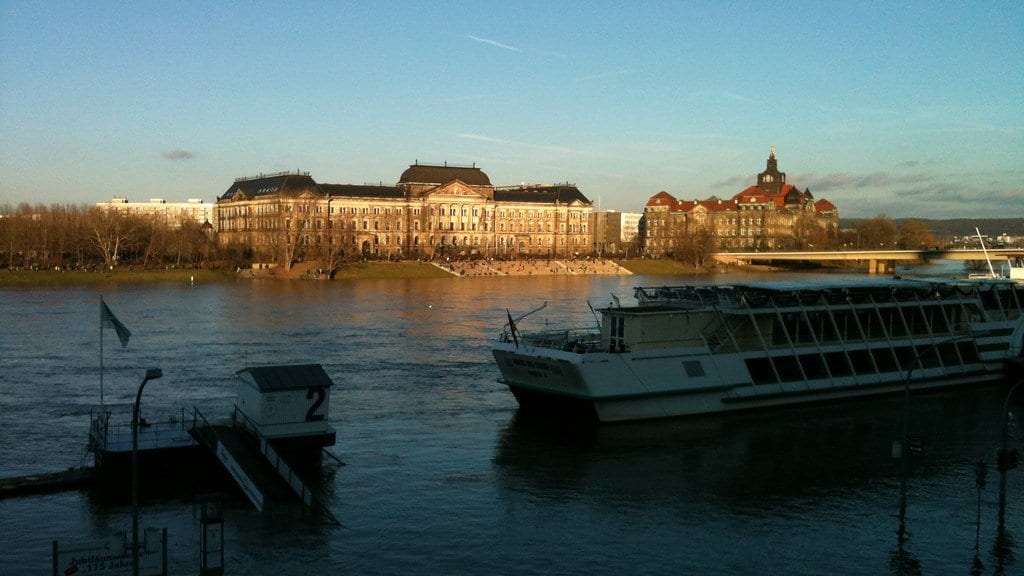
Generating plausible-looking weather is only half the test. The point is flood risk, so the researchers fed their synthetic seasons into a hydrological model (the GR4J rainfall-runoff scheme, with a snow module) routed across the Elbe, the river that drains much of eastern Germany and the Czech Republic, and that produced catastrophic floods in 2002 and 2013. They ran it over 68 gauged catchments and nearly 1,300 ungauged ones, turning imagined rain into imagined river flow.
Two findings matter. First, the AI-generated weather held together as climate: it reproduced present-day statistics and preserved the way rainfall clusters in space and time, so that a wet December in one place plausibly coincided with a wet December next door. Reassuringly for a model built to invent extremes, its main bias was toward slightly drier conditions: a small dry bias in the wettest regions, staying within half a standard deviation of the historical record. Second, and this is the headline the authors themselves put forward: across the synthetic seasons, the model produced a wider diversity of extreme rainfall events than an industry-standard statistical benchmark (a conditional multivariate extreme-value model of the kind used in catastrophe risk) while still generating weather that "extends beyond historical observations" rather than merely reshuffling the past.
That comparison deserves a clear label. It is the paper's own finding, not an independent verdict, and several of the authors work for JBA Risk Management, a commercial catastrophe-risk firm; the benchmark it beats is the sort of statistical model the wider industry relies on. Peer reviewers at NHESS signed off on the work (it was received in November 2025 and accepted in June 2026), but the "wider diversity" claim is a result reported by a team with a stake in the answer, and worth reading as such until others reproduce it.
The authors are careful about the frame, too. They call PrecipHENS "a framework rather than an optimised operational product." It models today's climate, using data from 1980 to 2024, and does not attempt to project how warming will reshape storms. It covers winter only, and a single river basin. Extending the same continuous hydrological approach worldwide, they note, would be "computationally prohibitive." No flood authority is going to redraw a hazard map from this paper tomorrow.
What it offers instead is a different way to ask the question. Rather than squeezing a risk estimate from a handful of real disasters, a flood planner could interrogate thousands of physically consistent seasons and find the ones that would overtop a specific levee: storms that never made landfall in the record, but that the atmosphere, on the model's evidence, is fully capable of assembling. The floods on the Elbe that never happened may turn out to be the most useful ones to study.
Sources
- Natural Hazards and Earth System SciencesPeer-reviewed