The Water No One Can See: What Might Have Been Trapped Under the Glacier Above La Bérarde

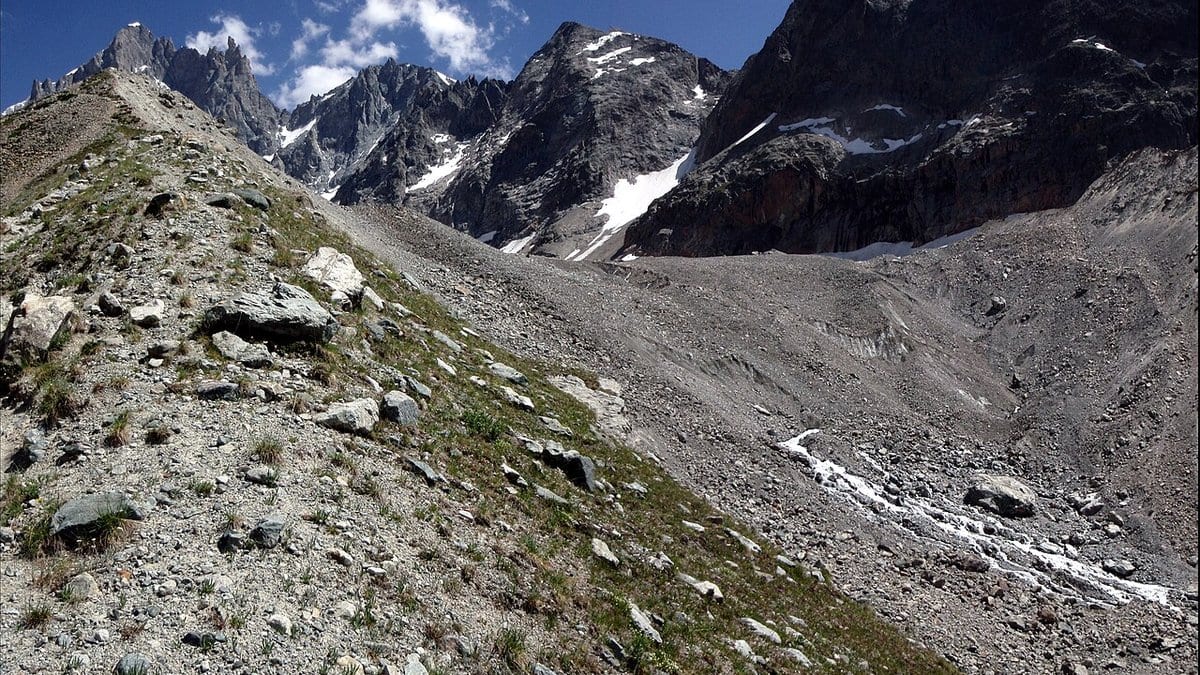
The night of 20–21 June 2024 left the French Alpine village of La Bérarde half buried. The Étançons river, swollen and carrying rock, came through the Écrins massif hamlet and filled it with debris; residents had been evacuated early enough that nobody was killed. Then the reconstruction began, and it did not add up. Hydrologists modeling the rain and the melting snow could not get their numbers to arrive at the hour the water did. Something else had come down the valley with it.
The obvious candidate sat two kilometers upstream, on the tongue of the Glacier de Bonne Pierre. A lake had been seen on the ice surface on 18 June, roughly 100,000 cubic meters of meltwater sitting in a hollow; by 22 June, it was gone, drained somewhere beneath the glacier. But that lake has formed every summer since 2016 and has quietly emptied under the ice each time without flooding anything. Even when added to the rain, it does not fix the timing.
A peer-reviewed study published on 18 August in Natural Hazards and Earth System Sciences asks a more uncomfortable question. Christophe Ogier and Daniel Farinotti at ETH Zurich, with Olivier Gagliardini at the Institute of Environmental Geosciences in Grenoble and colleagues, set out to estimate how much more water the glacier could have been holding where nobody could have seen it: not on the ice, but under it, in reservoirs that are invisible from the surface by definition.
Such pockets are not held back by a wall of rock. Water pools at a low point in what glaciologists call the subglacial hydraulic head: a pressure field set jointly by the slope of the ice above, the shape of the bed below, and the pressure of the water already at the base. Where that field dips into a closed basin, water gathers, and the surrounding ice is the dam, until the water pushes harder than the weight of ice above it, and the seal fails.
The team flew ground-penetrating radar over the glacier to measure the thickness of the ice, subtracted that from a laser map of the surface to get the bedrock, computed the pressure field from the two, and then filled every closed depression in it to the brim. As of June 2024, the model says, hydraulic barriers on the glacier tongue could in theory have impounded about 160,000 cubic meters of water. Four of the modeled pockets are substantial, and 120 more are too small to matter. The largest, holding up to 148,000 cubic meters and as much as 25 meters deep, sits directly beneath the hollow that holds the summer lake.
That is a great deal of water to lose track of, and it is also not an outlandish amount for an Alpine glacier. The best-documented case is Glacier de Tête Rousse above Saint-Gervais, where a water pocket burst in 1892 and killed roughly 175 people; a survey more than a century later found the cavity had filled again.
The figure easiest to misread is that of 148,000. It is the capacity of the hollow with nothing on top of it. On 20 June, the hollow was not empty: it held the lake, and water on the surface presses down on anything trapped below. Run again with the lake in place, and the same pocket models at 48,000 cubic meters, about a third as much. Which number applies depends entirely on which day you are describing.
The paper sets out two ways the flood could have happened and declines to pick one. In the first, a barrier under that hollow had been filling for years, and the fast-rising lake loaded it until the seal broke; lake and pocket together would come to something like 250,000 cubic meters, a number the authors hedge as they give it, because the gauging station downstream failed during the flood, and the water budget of that night cannot be closed. In the second, no large pocket existed at all: exceptional rain and melt simply overwhelmed a drainage network that was still early-season and inefficient, pressurized the bed, and reconnected a scatter of small water-filled cavities all at once.
Neither is chosen. The section that closes the argument is an outlook on what would tell them apart, and its verdict is flat: the glacier's motion during the event was not measured finely enough to discriminate between the two. The absence of the concentric crevasses that usually follow the emptying of a large pocket argues against the first scenario, the authors note, without ruling it out.
What the modeling does establish is where the ignorance lives. Errors in the bedrock barely move the answer, and smoothing the surface map moves it somewhat. The dominant term is the water pressure at the glacier bed, which nobody has measured here: let it vary by a tenth, change only the distance over which it is assumed to vary smoothly, and the modeled total swings from under 70,000 cubic meters to more than 400,000. That sensitivity is a finding in its own right, and it applies to every study built this way.
The method is deliberately plain: purely geometrical, steady-state, and portable to any glacier with a surface map and an ice thickness. The code and the radar data are openly archived, so another group can run it on their own glacier. The wider warning is about a class of ice rather than a single valley. Debris-covered glaciers develop dimpled, low-sloping tongues, and the same dips that pond meltwater on top are the ones that create pressure minima underneath: two reservoirs stacked in the same place, only one of them visible.
Sources
- Natural Hazards and Earth System SciencesPeer-reviewed