African Highlands Help Set the Timing of the Tropics' Biggest Rain Pulse
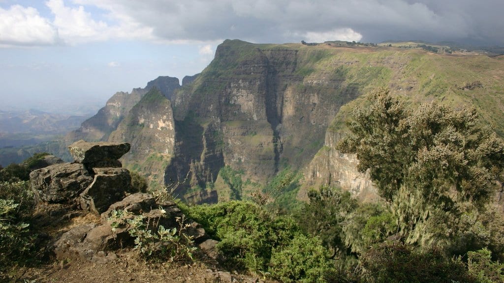
Researchers at four Chinese institutions report that the East African highlands help set the timing of the Madden-Julian Oscillation, the traveling band of tropical cloud and rain behind the largest week-to-week swings in rainfall on the planet. In a paper published Oct. 24, 2026, in npj Climate and Atmospheric Science, they describe the mountains blocking winds along the equator and steering moist air off equatorial Africa into the storm cluster that becomes the next oscillation.
The system matters well outside the tropics. NOAA's Climate.gov describes it as an eastward-moving disturbance of cloud, rain, wind and pressure that crosses the tropics and returns to where it started in 30 to 60 days on average, and says it contributes several times a year to extreme events in the United States, including winter outbreaks of Arctic air. It is also the main reason forecasters can say anything useful about rainfall weeks ahead, and the paper states that how the oscillation gets started over eastern Africa and the western Indian Ocean remains a major barrier to those forecasts.
Aijia Chen of Fudan University, Hong-Li Ren of the Chinese Academy of Meteorological Sciences and colleagues trace that start to a lull in tropical thunderstorms that forms beforehand over the Indian Ocean and the western Pacific, a pattern they say likely begins as waves arriving from the Southern Hemisphere. The lull shifts the winds blowing from the west along the equator; the highlands block that flow and turn it southerly, and moist air is carried from equatorial Africa into the developing system. High-resolution ensemble simulations confirm the topographic link, the authors report.
The same two lulls also make a new oscillation harder to start, the paper reports: the Indian Ocean lull flattens the moisture contrast the system feeds on, and the western Pacific lull, drifting westward, adds more wind from the west.
The study rests on analysis and model runs rather than new measurements, and it puts no number on how much forecasts might improve. The authors describe the work as advancing understanding of how the oscillation forms.
The paper is open access, funded by China's National Key R&D Program and the National Natural Science Foundation of China. The journal released the peer-reviewed accepted version early, ahead of a final version of record.
Sources
- npj Climate and Atmospheric SciencePeer-reviewed