Dust Layers in China Track How Much Carbon Dioxide Dry Lands Pulled From the Air
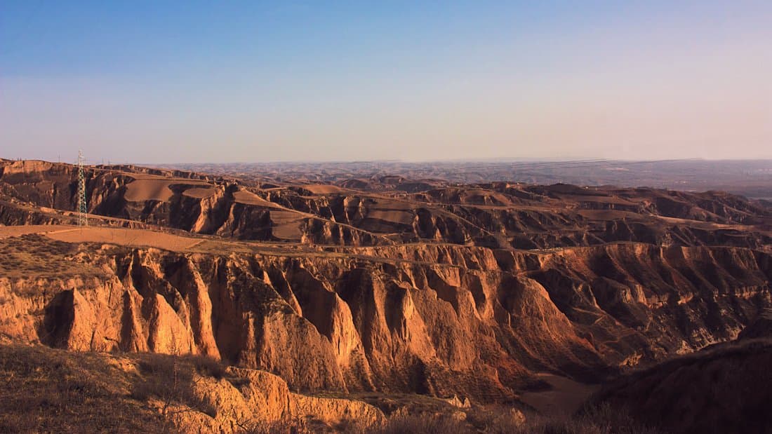
Researchers at the Chinese Academy of Sciences have put a long-term number on something geological carbon budgets usually leave out: how much carbon dioxide the world's dry lands pull from the air as their rock breaks down. The reconstruction, read from layers of wind-blown dust on the Chinese Loess Plateau, was published Sept. 12, 2026, in Communications Earth & Environment.
Arid and semiarid regions are largely left out of long-term geological carbon budgets, on the assumption that silicate weathering there is too weak to matter. Silicate weathering is the slow chemical breakdown of rock, and it consumes carbon dioxide. The study aims to supply the figure those budgets have been missing.
Chunxia Zhang, Zhengtang Guo and colleagues at the Institute of Geology and Geophysics in Beijing read red clay and loess sequences from the plateau. Scaled up to the world's wind-deposited regions, their figure for carbon dioxide consumed by silicate weathering rose from about 3.7 to about 18.8 teragrams of carbon a year between 4.0 and 1.0 million years ago, then fell to about 13.0. A teragram is a million metric tons. These are rates reconstructed from sediment layers, not measurements of the carbon cycle as it runs today.
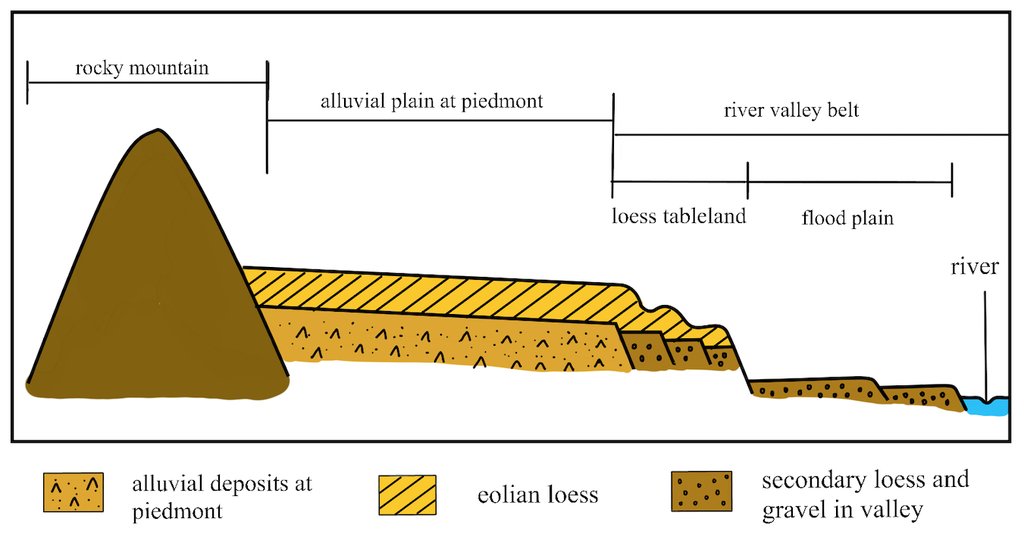
What drives the change is how fast dust accumulated rather than how intensely the rock itself weathered; chemical weathering across the plateau stayed low to moderate throughout. The team notes that this long-term trend broadly coincides with the late Pliocene fall in atmospheric carbon dioxide, and describes wind-shaped drylands as an underrecognized part of the carbon cycle's self-reinforcing feedbacks.
The paper is open access under a Creative Commons license, and the journal is posting the accepted version ahead of the final edited text. The work was funded by the National Natural Science Foundation of China and the Chinese Academy of Sciences.
Sources
- Peer-reviewednature.com