At Three Cascadia Sites, an Uneven Rupture Sends the Modeled Tsunami Farther Inland

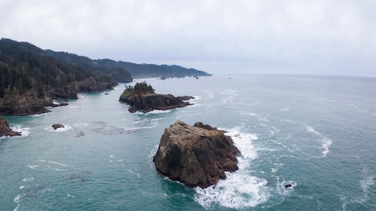
A great subduction earthquake is not a clean shove. When a megathrust lets go, the fault does not slide by the same amount everywhere along its length. Some patches lurch, others barely move, and the lopsided bulge the seafloor makes as a result is what the ocean above it has to absorb. How severe the tsunami turns out to be, and in particular how deep the water gets once it is ashore, is tied to that source.
Tsunami hazard for the Cascadia Subduction Zone, the megathrust that lies offshore of the Pacific Northwest, has traditionally been assessed the simpler way, with slip spread evenly along the rupture. Sean Santellanes and Diego Melgar, of the Department of Earth Sciences at the University of Oregon, set out to drop that assumption, working with colleagues at Tohoku University, The Ohio State University and the risk-modeling firm ImageCAT. They put 200 uneven, or heterogeneous, rupture sources through tsunami models at three sites along the zone.
The result, published Oct. 21, 2026, as a peer-reviewed Report in Seismica, is that the modeled inundation limit, the farthest line the water reaches, moves inland. Uneven sources push it farther in than even-slip sources do.
The authors also note something that travels beyond seismology. At the 1-in-2,475-year exceedance threshold, a flooding level that hazard calculations expect to be exceeded about once in that span, the modeled inundation for uneven sources extends farther inland than official tsunami evacuation lines, and farther than the tsunami design zone set by the American Society of Civil Engineers. It arrives in the paper as a further note rather than as the headline result, and it is a comparison between a model and a line, not a verdict on anybody's map.
An exceedance threshold is computed across the whole suite of ruptures, so the contour that reaches past those lines in the model is a probability, not one extreme run plucked out of the set because it went farthest.
None of which changes what anyone living on that coast should do. This is a modeling study at three sites, not a revision of any map, and official evacuation guidance remains the guidance to follow.
The underlying effect is not a discovery, and the shortcut it replaces was never quite a mistake. Letting every patch of a fault slip by a different amount multiplies the computing a regional hazard assessment needs, which is one reason rupture complexity is usually left out of one. What changed is capability. Melgar and two co-authors, in a 2019 paper in Geophysical Journal International, noted that calculating realistic slip distributions had become feasible over the previous decade, and asked whether the even-slip assumption was still a reasonable one.
Their answer was that even-slip models carry less tsunami energy and "frequently underpredict the peak tsunami amplitudes and the resulting tsunami hazard, particularly at low probabilities of exceedance." Low exceedance probability is the regime the Cascadia paper reports in. It is the same group's own earlier work rather than outside support, since Melgar is an author of both papers.
The independent version comes from a different team on a different fault. Linlin Li and colleagues reported in 2016, in Journal of Geophysical Research: Solid Earth, that for the South China Sea the uniform-slip approach "significantly underestimates tsunami hazard," and not only near the source but along coasts well away from it.
What the new paper adds is the test at Cascadia sites, and the choice to measure the result against lines that real planning and engineering documents draw rather than against another model. That the character of a rupture, and not only its size, matters to the wave is an idea this field keeps running into.
Seismica is community-run and free to read, and it publishes the referee reports for this article alongside the paper, so what the reviewers asked for is on the record too. The study sits in the journal's long-running special issue on the Cascadia Subduction Zone, which leaves the obvious next question: whether those sites behave like the rest of a fault that runs the length of a coast.