Mangroves Gained Ground Worldwide Since 1985, While Indonesia Lost 2,044 Square Kilometers
The Global Mangrove Watch project has released a reprocessed 40-year map of the world's mangrove forests. It puts worldwide mangrove cover at a net gain of 47,720 hectares between 1985 and 2025, and Indonesia's loss over the same span at 2,044 square kilometers, under major data update announced by Aberystwyth University on Aug. 20.
The worldwide net gain works out at about 477 square kilometers. It is a net figure, so Indonesia's loss is already counted inside it and is outweighed by gains elsewhere. Indonesia holds the world's largest area of mangroves, while Myanmar, Malaysia and Nigeria have also recorded significant declines.
Dr. Pete Bunting, reader in remote sensing in Aberystwyth's Department of Geography and Earth Sciences, whose research contributed to the maps, called the overall increase "encouraging" and said it "also shows that progress is uneven, with some regions continuing to experience significant losses." He said the findings "highlight the complexity of mangrove change, with gains in some areas linked to both restoration efforts and natural processes."
The update, labeled GMW v4.1, uses improved satellite imagery and machine learning to sort coastline into mangrove that is being lost, recovering or staying stable. The resulting maps and datasetst are publicly available at globalmangrovewatch.org.
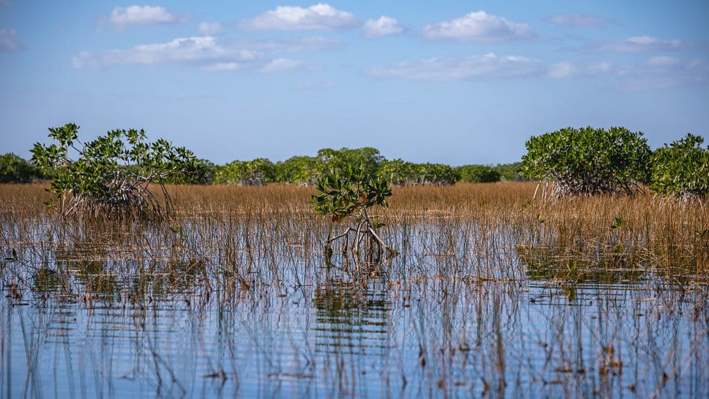
Mangroves grow along tropical and subtropical coasts, where they support biodiversity, buffer coastal communities against storms and sea-level rise, sustain livelihoods and store large amounts of carbon.
Collaborators named on the project are Aberystwyth University, Wetlands International, The Nature Conservancy, soloEO, the Japan Aerospace Exploration Agency, NASA, WWF and the IUCN, with support from the Oak Foundation, COmON Foundation, GreenChoice, DOB Ecology and the Dutch Postcode Lottery.